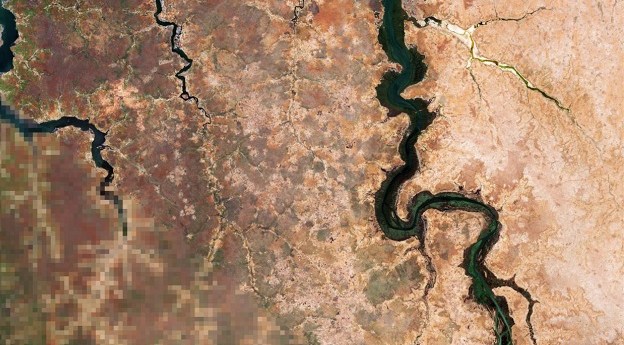
The four Australian and New Zealand projects will focus on environmental and agricultural...
agriculture
-
The partners have teamed up to address challenges in emissions monitoring, pest management...
2024-09-16
The SmartSat-led EO initiative will address the need to reduce risk and boost...2023-05-31
Satellite imaging and communications promise to vastly improve agricultural practices, adding billions to...2021-12-30
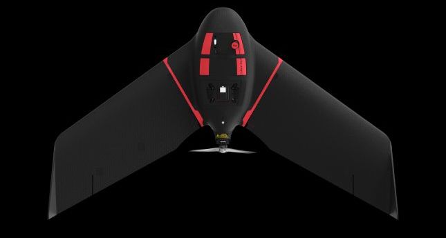
ADVERTISEMENTThe eBee Ag is designed to help farmers, agronomists and service providers capture...2021-02-16
Updated LOOC-C tool now models soil carbon measurements and beef herd cattle management.2020-12-09
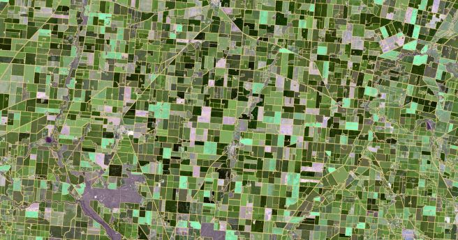
CSIRO’s ePaddocks contains paddock boundary information in an AI-derived dataset.2020-08-11
Biosecurity Queensland is monitoring quarantine compliance for Panama TR4-affected farms with UAVs.2020-02-25
DJI launches a turnkey agricultural analysis solution based on the Phantom 4.2019-10-02
The event’s organisers have announced a new speaker and sponsor ahead of the...2019-06-11
Landmark report finds one million species on track for extinction from human activities,...2019-05-14
Developing pure, perennial data resources for water in the Top End with digital...2019-03-20
Regional Australia is too big to be contained in a single policy.2019-03-06
AI-driven agricultural analytics startup closes solid series A round.2019-03-06
CSIRO has pioneered a phosphate production process based on ore smelting that eliminates...2019-02-19
National Drought Map combines a wealth of data to create a comprehensive drought...2019-02-06
Grants of $5,000 are available for students completing degrees in agriculture-related disciplines.2019-01-09
The smart ear tag features accelerometers that can alert owners to unusual movement...2018-11-20
FrontierSI report analyses key issues in developing fit-for-purpose, UAV-derived data products.2018-08-14
Newsletter
Sign up now to stay up to date about all the news from Spatial Source. You will get a newsletter every week with the latest news.
© 2026 Spatial Source. All Rights Reserved.
Powered by WordPress. Designed by


