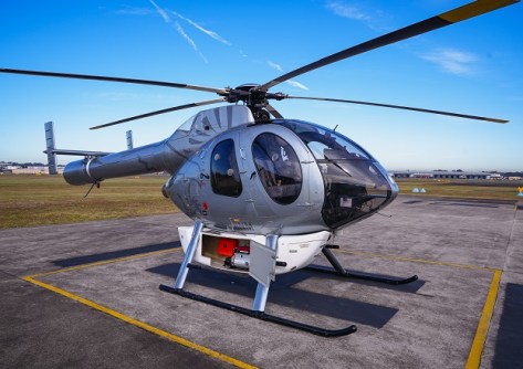
Sydney Trains is conducting a helicopter-mounted LiDAR scanning program to spot vegetation hazards along the rail network.
Twice each year, Sydney Trains uses helicopter-mounted LiDAR to carry out a survey of the approximately 850 kilometres of wiring in its high-voltage network.
The aim is to spot encroaching vegetation that could cause electrical faults and bushfire hazards.
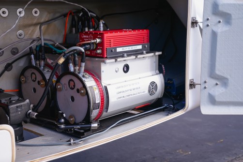
According to Sydney Trains, the effort is part of a broader move toward predictive maintenance, helping engineers identify and address risks before they affect customers.
The LiDAR scans produced detailed 3D point clouds of powerlines, structures, terrain and nearby trees, giving engineers a clear view of where branches or vegetation could affect the rail network.
Helicopters, drones and LiDAR technology each have a role in supporting the inspection of the rail network. The technology used is determined by the size and scope of the task, with helicopters suited to rapid large-scale coverage and drones providing a flexible platform for targeted, high-resolution inspections.
Sydney Trains has used aerial LiDAR since 2017. A survey completed in February 2026 found 225 medium-priority and 1,996 low-priority vegetation clearance issues, with only 26 remaining.
A September survey identified a further 399 defects, comprising 33 medium-priority and a further 366 low-priority defects.
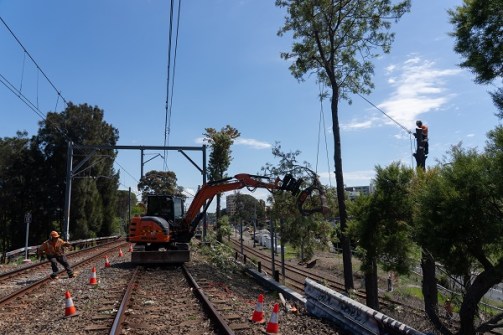
“Preparing for bushfire season is a year-round task, and LiDAR gives us the detailed information we need to act early, said Matt Longland, Chief Executive of Sydney Trains.
“The aerial surveys give our engineers a detailed view of hundreds of kilometres of high-voltage infrastructure and surrounding vegetation, including areas that can be difficult to inspect from the ground.
“That means we can send crews to the right locations sooner, reduce the chance of power and signalling faults, and help passengers get where they need to go with fewer disruptions.”