

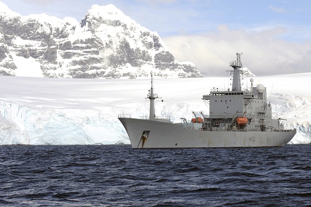
HMS Scott pictured at anchor near Port Lockroy in Antarctica in 2011. Royal Navy photo by POA(Phot) Ray Jones/MOD, under OGL.
Royal Navy ocean survey ship HMS Scott is set for a record-breaking 2021 after mapping an area of the Atlantic seabed almost as big as the state of Victoria.
The Devonport-based ship, commissioned in 1997, is the largest vessel in the Royal Navy’s hydrographic flotilla.
The ship’s High Resolution Multi Beam Sonar System is able to chart the seabed in great detail.
In her 24 years at sea, Scott has surveyed approximately 3.7 per cent of the world’s oceans. During the current 2021 ‘military data gathering season’ she has surveyed 214,000 square kilometres of deep ocean floor.
By the end of 2021, when she will have completed her Atlantic deployment, she will have closed in on the 300,000 square kilometre mark.
“The success HMS Scott has enjoyed is testament to the hard work of every member of the ship’s company,” said her Commanding Officer Commander Tom Harrison.
“This truly has been a team effort — to sustain operations for prolonged periods takes sound planning, forward thinking, team cohesion and a determination to complete our mission.”
The data Scott has gathered on her latest patrols is passed to the UK Hydrographic Office, so that it can be exploited for safe navigation.
When she began her current mission in June 2021 with a crew of 87, she took with her 1,800 sausages, 3,000 eggs, 6,000 rashers of bacon and 1,440 toilet rolls.
Stay up to date by getting stories like this delivered to your inbox.
Sign up to receive our free weekly Spatial Source newsletter.


