Surveying
-
This week: Lots of job vacancies, industry PhD programs, take part in a...
2026-02-18
The union has announced that it has ceased to represent surveyors in Victoria...2026-02-16
The Institution of Surveyors NSW is getting ready to begin assessments of surveyors...2026-02-16
The CenterPoint RTX correction service expands operational reach beyond traditional network footprints.2026-02-13
- ADVERTISEMENT
Asia’s biggest geospatial event will cover indoor mapping, smart mining, GNSS, digital underground...2026-02-12
New guidelines have been issued for Māori and Crown land in New Zealand,...2026-02-12
A new book showcases the role ocean cartography has played in science, policy...2026-02-12
This week: Surveying conferences, an Android surveying app, drone operator privacy guidelines and...2026-02-11
Aptella is offering complimentary access to positioning services for bushfire and flood recovery...2026-02-09
The Surveying Careers project’s 2026 program is full of initiatives to attract young...2026-02-09
Austin Metals has begun a high-res drone imagery and field mapping program at...2026-02-04
This week: GIS and surveying jobs, AURIN Data Tales, hidden seafloor canyons, Brisbane...2026-02-04
Hot on the heels of December’s release of Ginan v4.0.0, the Ginan team...2026-02-03
Dr Khoo brings broad experience, from precise positioning to cadastral survey, digital twins...2026-02-02
The Surveyors Board of Queensland is reminding the state’s surveyors of the requirements...2026-02-02
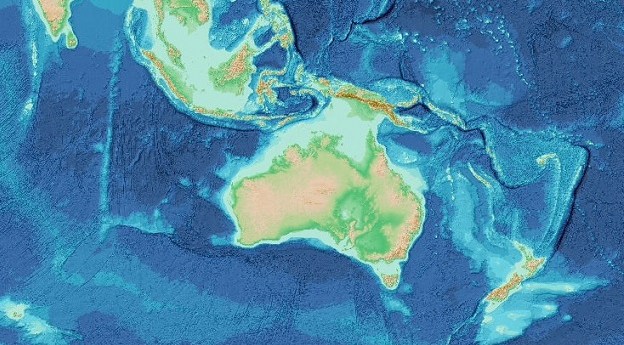
Users will be able to explore and download bathymetry data for the waters...2026-01-29
The updated free Land and Survey Spatial Information portal will combine four services...2026-01-29
How Revolver Resources made its Dianne copper mine project more efficient with Mangoesmapping.2026-01-29
How the 3D laser scanning industry stands to benefit from hybrid reality capture.2026-01-29
John Manning and Ken Sherwood have been recognised with awards in the Australia...2026-01-28
Newsletter
Sign up now to stay up to date about all the news from Spatial Source. You will get a newsletter every week with the latest news.
© 2026 Spatial Source. All Rights Reserved.
Powered by WordPress. Designed by


