SimActive has announced full support within its Correlator3D software for Phase One’s new iXM-FS130 sensor.
This gives users the ability to process sub-centimetre aerial imagery efficiently while maintaining speed and accuracy.
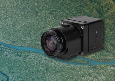
The Phase One iXM-FS130 sensor delivers true 1cm ground sample distance imagery optimised for fixed-wing aerial missions.
Correlator3D, meanwhile, is used to process high-resolution datasets, performing precise aerial triangulation, generating point clouds, dense surface models and orthomosaics suited for engineering and mapping projects.
“The integration of the iXM-FS130 ensures our clients can fully leverage its image quality within a robust and scalable processing environment,” said Louis Simard, CTO at SimActive. “Together, the technologies deliver unmatched detail and workflow efficiency for high-resolution aerial mapping.”