

UPDATED 9:55am AEST 24 May 2023: SouthPAN services have now been restored, following the second outage in a little over a month due to problems with the communication satellite providing the service.
In an email circular received at 5:25pm AEST on 23 May 2023, Geoscience Australia said that “SouthPAN services in Australia and New Zealand are currently unavailable due to a service outage affecting the telecommunications provider for services to the communication network in Australia”.
“At this stage we understand the telecommunications service provider is working to restore services as soon as possible. We will provide a further update when we receive more information about when services are expected to resume.”
This morning, 24 May, Geoscience Australia provided the following update: “SouthPAN services in Australia and New Zealand are back online and available to users, as the service outage affecting SouthPAN users due to a service outage affecting the telecommunications provider for services to the communication network in Australia has now been rectified.”
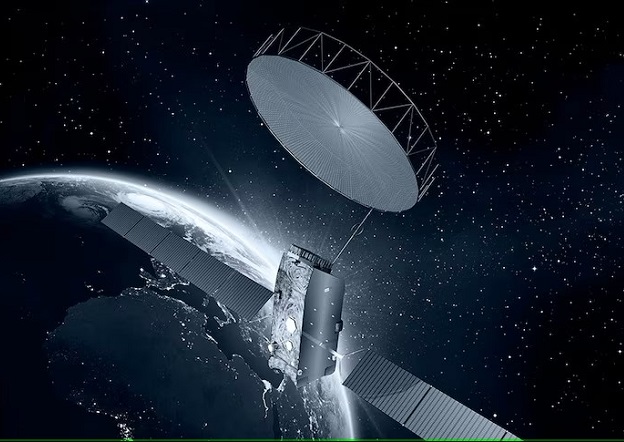
The outage came on the heels of another outage in April, which, according to one source at the recent Locate23 conference, resulted from a denial-of-service on Inmarsat’s I-4 F1 commercial communications satellite, but which Inmarsat instead says was caused by a loss of power. Currently I-4 F1 is the only satellite providing the SouthPAN correction service.
SouthPAN broadcasts information used to improve the accuracy of positioning derived from the global navigation satellite system. Many Satellite-Based Augmentation Systems (SBAS) are in operation around the world, but SouthPAN for Australia and New Zealand is relatively new — early Open Services went live on 26 September 2022.
Eventually, the plan is for SouthPAN correction signals to be provided by two dedicated payloads aboard geostationary satellites.
Those payloads will provide a new navigation signal that will be used for precise point positioning (PPP) services. The system is expected to reach full operating capability, including safety-of-life certification, by 2028.


