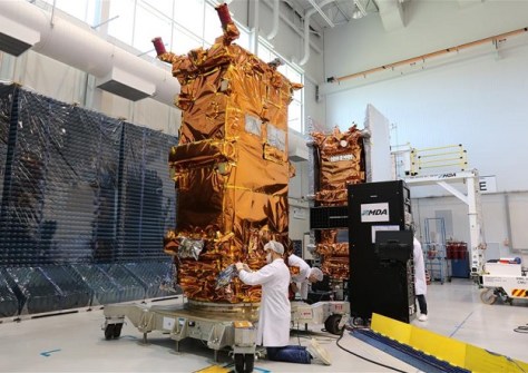
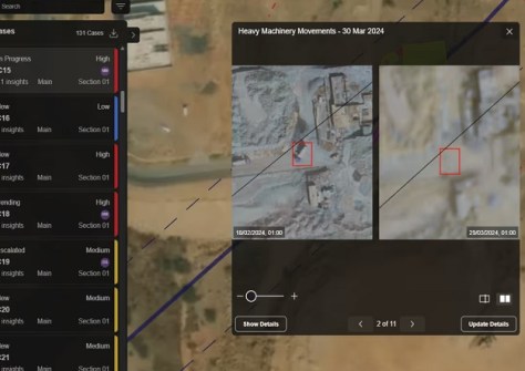
The funding for MDA Space will enable the purchase of specialised components for an additional RADARSAT satellite.

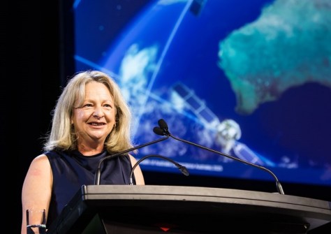
Vale: Gladys West, 27 Oct 1930 – 17 January 2026
The geodesy and GNSS world is mourning the loss of Gladys West, one of its pioneers, who passed away on 17 January.
Read moreLatest Geospatial News
View all
ADVERTISEMENT
Organisers expect to put out the call for papers for the Melbourne event, early in the new year.
 2025-12-16
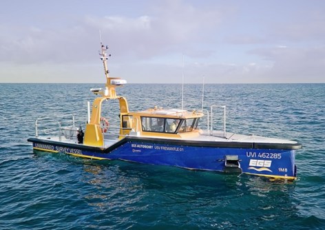
EGS Survey’s 12-metre-long USV Fremantle 01 is equipped to conduct 90% of its missions autonomously.
 2025-12-16
The German satellite imagery company has opened an office in Sydney to reach Australian and APAC clients.
 2025-12-15
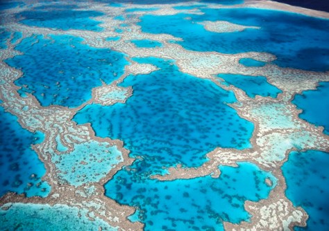
A multi-institution team has been awarded ARC Linkage funding to help map Australia’s coastal environments.
 2025-12-15
Ordnance Survey’s CTO, Manish Jethwa, gives his views on turning location data into actionable insights.
 2025-12-12
ADVERTISEMENT
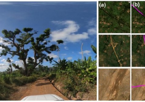
Models have analysed 9.2 million kilometres of major transport routes connecting cities and rural regions.
 2025-12-12
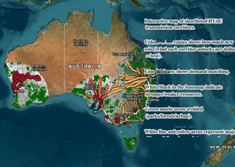
Researchers assessed more than 500 potential new transmission corridors to find 147 highest-scoring options.
 2025-12-12
 Events
View All-
Feb 4
PNT 2026 Conference
 Royal Randwick racecourse, Sydney
 -
Feb 17
Geo Week 2026
 Colorado Convention Center, Denver
 -
Mar 4
BYDA Utility Safety Conference 2026
 RACV Club Melbourne
 -
Mar 16
Association of Public Authority Surveyors (APAS) 2026 Conference
 Park Proxi Gibraltar, Bowral, NSW
 -
Mar 22
Hydrospatial 2026 Conference
 Shed 6, Wellington, New Zealand


