The International Centre of Insect Physiology and Ecology has been appointed DEA’s ‘long-term owner’.
Woolpert appoints Andy Burrell to APAC role
By jnally on 1 December, 2025Burrell has become program director for business development in New Zealand and across the Asia-Pacific.
OGC wants action on Spatial Data Infrastructure
By jnally on 28 November, 2025The organisation has launched an SDI Modernization Gateway that showcases the state of SDI adoption.
Victoria and Queensland’s annual baseline updates
By jnally on 28 November, 2025The two states have conducted annual updates of baselines used to calibrate surveying equipment.
New surveying scholarship honours Jack de Lange
By jnally on 27 November, 2025The $18,000 subsidy will help students complete a Bachelor Degree in Surveying or Bachelor of Surveying (Honours).
Join the Missing Maps Map Party in Melbourne
By jnally on 27 November, 2025The Planning Institute of Australia event will boost skills for helping disaster-prone areas that lack reliable maps.
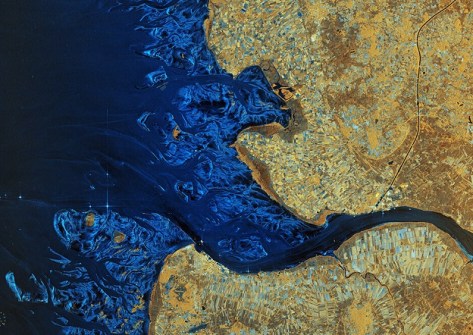
Mapping coastal outflow events in NSW
By jnally on 27 November, 2025Scientists are using satellite imagery and in situ measurements to monitor and understand coastal outflows.
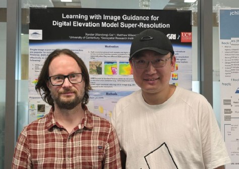
Consulting Surveyors Victoria appoints new CEO
By jnally on 26 November, 2025James Fitzpatrick started in the role this week, representing individuals and surveying firms in Victoria.
ISDE pushes for a Digital Earth at COP30
By jnally on 26 November, 2025Launched at COP30, Digital Earth aims to use geospatial and other means to strengthen climate and economic gains.
Spatial Snippets for Wednesday, 26 November
By jnally on 26 November, 2025This week: Geospatial jobs, oceanic and polar mapping, GNSS launches, webinars, and geography contests.
Latest Geospatial News
View all 2025-12-04
  2025-12-04
  2025-12-04
  2025-12-04
  2025-12-03
  2025-12-03
  2025-12-03
  2025-12-02
 Events
View All-
Feb 4
PNT 2026 Conference
 Royal Randwick racecourse, Sydney
 -
Feb 17
Geo Week 2026
 Colorado Convention Center, Denver
 -
Mar 4
BYDA Utility Safety Conference 2026
 RACV Club Melbourne
 -
Mar 16
Association of Public Authority Surveyors (APAS) 2026 Conference
 Park Proxi Gibraltar, Bowral, NSW
 -
Mar 22
Hydrospatial 2026 Conference
 Shed 6, Wellington, New Zealand


