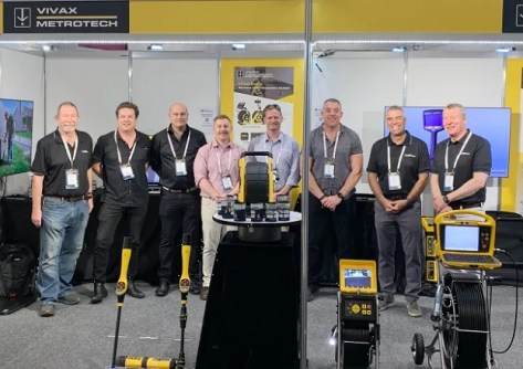
The Vivax Metrotech product line includes pipe and cable locators, GPR and inspection cameras.

LOCATE exhibitor, sponsor prospectus available
With the event less than 10 months away, now’s the time for companies to plan for their participation in LOCATE.
Read moreLatest Geospatial News
View all
ADVERTISEMENT
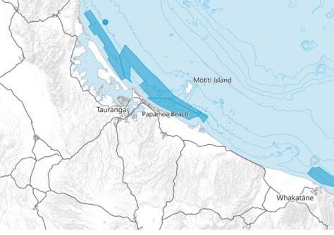
The seafloor mapping exercise will contribute to safer navigation for approaches to ports and wharves.
 2024-11-12
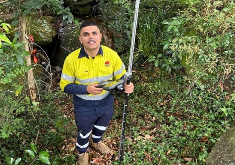
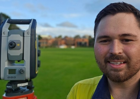
TAFE NSW graduate Nick Baran is achieving success as a surveyor with Transport for NSW.
 2024-11-12
Awards for excellence, community impact, innovation and more were presented at a ceremony in Perth.
 2024-11-11
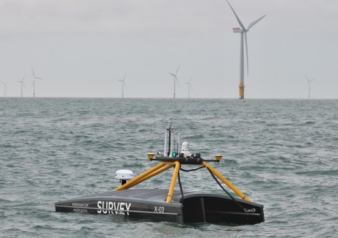
Ireland-headquartered XOCEAN is expanding its operations around the world, including here in Australia.
 2024-11-11
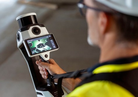
The NavVis MLX lightweight, ergonomic instrument is a significant advance in the field of reality data capture.
 2024-11-08
ADVERTISEMENT
Young surveyor Dempsey May is living proof that you shouldn’t set limits on your career ambitions.
 2024-11-06
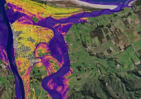
Machine learning is cutting down the time it takes to generate flood maps from 24 hours to just 1 to 2 minutes.
 2024-11-06
 Events
View All-
Feb 4
PNT 2026 Conference
 Royal Randwick racecourse, Sydney
 -
Feb 17
Geo Week 2026
 Colorado Convention Center, Denver
 -
Mar 4
BYDA Utility Safety Conference 2026
 RACV Club Melbourne
 -
Mar 16
Association of Public Authority Surveyors (APAS) 2026 Conference
 Park Proxi Gibraltar, Bowral, NSW
 -
Mar 22
Hydrospatial 2026 Conference
 Shed 6, Wellington, New Zealand


