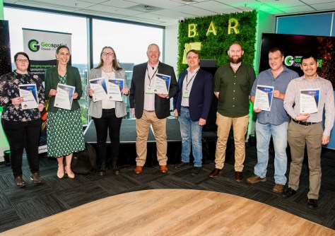
Geospatial awards for innovation, community impact, excellence and more were presented at a ceremony in Canberra.

Vale: Gladys West, 27 Oct 1930 – 17 January 2026
The geodesy and GNSS world is mourning the loss of Gladys West, one of its pioneers, who passed away on 17 January.
Read moreLatest Geospatial News
View all
ADVERTISEMENT
The funding, supported by FrontierSI and UNSW Sydney, will speed the commercial rollout of MapAI's platform.
 2024-11-27
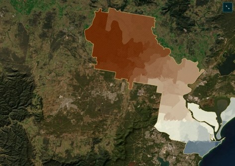
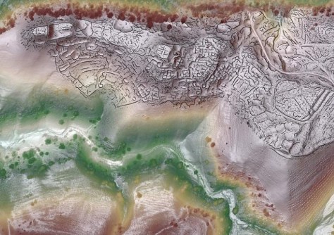
The winning UN World Data Forum entry explores datasets giving deep insight into heat vulnerability across NSW.
 2024-11-26
GIS offers powerful tools to optimise network design, deployment and end-to-end lifecycle management.
 2024-11-26
Before You Dig Australia says new data standards and a digital asset register could save $782 million annually.
 2024-11-25
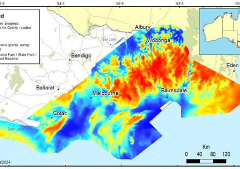
The two-year survey encompassed two-thirds of the state and comprised 197,217 kilometres of flight lines.
 2024-11-21
ADVERTISEMENT
Check out our regular weekly compilation of geospatial news snippets from around the world.
 2024-11-20
The Australian Land Registry Operators collective represents five major private operators and service providers.
 2024-11-20
 Events
View All-
Feb 4
PNT 2026 Conference
 Royal Randwick racecourse, Sydney
 -
Feb 17
Geo Week 2026
 Colorado Convention Center, Denver
 -
Mar 4
BYDA Utility Safety Conference 2026
 RACV Club Melbourne
 -
Mar 16
Association of Public Authority Surveyors (APAS) 2026 Conference
 Park Proxi Gibraltar, Bowral, NSW
 -
Mar 22
Hydrospatial 2026 Conference
 Shed 6, Wellington, New Zealand


