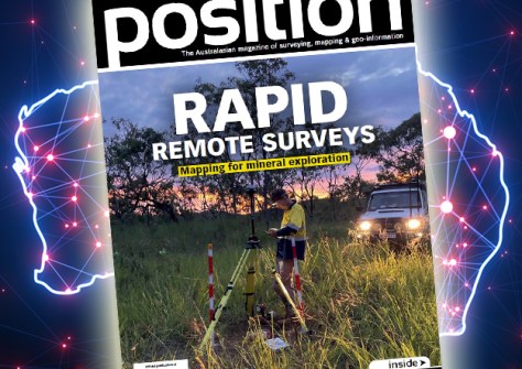
Read our expert’s predictions for 2025, plus data visualisation, plans for resilient PNT and much more.

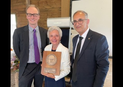
Geospatial sector recipients in Honours List
John Manning and Ken Sherwood have been recognised with awards in the Australia Day Honours List.
Read moreLatest Geospatial News
View all
ADVERTISEMENT
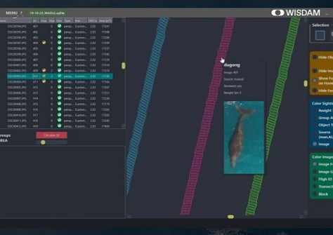
The WISDAM app uses aerial survey data to map animal detections to real-world coordinates.
 2024-12-09
The head of the world's largest geospatial organisation gives her insights into the opportunities ahead in 2025.
 2024-12-09
The paper presents three UDT use cases — climate change adaptation, urban transformation and urban air mobility.
 2024-12-05
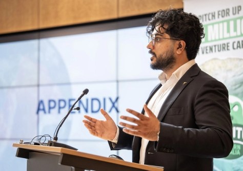
Esper Satellites awarded $1m from the Paspalis Innovation Investment Fund after winning Croc Pitch 2024.
 2024-12-04
Check out our regular compilation of geospatial news snippets from across Australia and around the world.
 2024-12-04
ADVERTISEMENT
Volunteers are needed for the 9th FIG Young Surveyors Conference, to be held in Brisbane in April 2025.
 2024-12-03
In honour of the late surveyor and politician, the CSDILA has launched the Gary Nairn Medal for Leadership.
 2024-12-03
 Events
View All-
Feb 4
PNT 2026 Conference
 Royal Randwick racecourse, Sydney
 -
Feb 17
Geo Week 2026
 Colorado Convention Center, Denver
 -
Mar 4
BYDA Utility Safety Conference 2026
 RACV Club Melbourne
 -
Mar 16
Association of Public Authority Surveyors (APAS) 2026 Conference
 Park Proxi Gibraltar, Bowral, NSW
 -
Mar 22
Hydrospatial 2026 Conference
 Shed 6, Wellington, New Zealand


