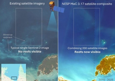
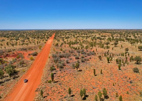
A milestone has been reached in the NT’s Regional Ecosystem and Landscape Mapping program.
WA native title claim secured after 30 years
By jnally on 4 December, 2025With the success of the Payarri claim, native title now covers more than three quarters of Western Australia.
First radar images flowing from Sentinel-1D
By jnally on 4 December, 2025The images show a range of landscapes, from Antarctica to South America, and European cities and rivers.
AI model aims to make flood-risk maps affordable
By jnally on 4 December, 2025The Joint Spatial Propagation Super-Resolution AI model uses open satellite data and modest computing power.
RICS appoints Asia Pacific market director
By jnally on 4 December, 2025Nicky Bowen’s role is to elevate standards and strengthen capability across the built-environment sector.
NZ$1.2m boost for LiDAR coverage across Otago
By jnally on 4 December, 2025The funding will help Otago Regional Council boosts its region’s LiDAR coverage from 28% to 100%.
Spatial Snippets for Wednesday, 3 December
By jnally on 3 December, 2025This week: Geospatial jobs, conferences and webinars, scholarships for women, seabed mapping and more.
The socioeconomic effects of flooding
By jnally on 3 December, 2025Geospatial, socioeconomic and property data reveal the inequalities faced by flood-prone communities.
Transforming underground utility location data
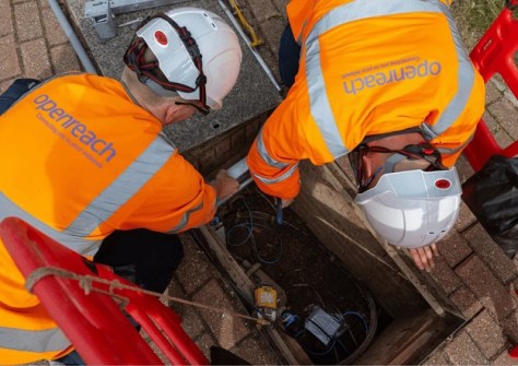
By jnally on 3 December, 2025A BYDA trial tested whether diverse utility data can be visualised clearly on a single GIS platform.
UK commits an extra £120m for Earth observation
By jnally on 2 December, 2025The funding through ESA is on top of £471m allocated to ESA EO projects over the next four years.
Latest Geospatial News
View all 2025-12-10
  2025-12-10
  2025-12-10
  2025-12-09
  2025-12-09
  2025-12-08
  2025-12-05
  2025-12-04
 Events
View All-
Feb 4
PNT 2026 Conference
 Royal Randwick racecourse, Sydney
 -
Feb 17
Geo Week 2026
 Colorado Convention Center, Denver
 -
Mar 4
BYDA Utility Safety Conference 2026
 RACV Club Melbourne
 -
Mar 16
Association of Public Authority Surveyors (APAS) 2026 Conference
 Park Proxi Gibraltar, Bowral, NSW
 -
Mar 22
Hydrospatial 2026 Conference
 Shed 6, Wellington, New Zealand


