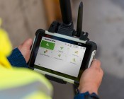
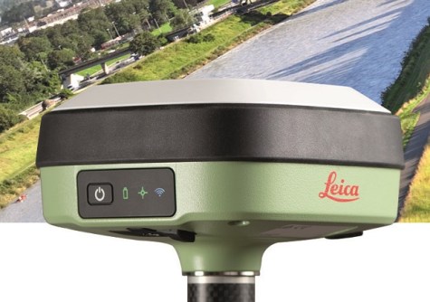
The GS05’s streamlined data-collection functionalities enable surveyors to do more each day in the field.

Team Australia takes the helm at CEOS
The Committee on Earth Observation Satellites will be led in 2026 by CSIRO, GA and the Bureau of Meteorology.
Read moreLatest Geospatial News
View all
ADVERTISEMENT
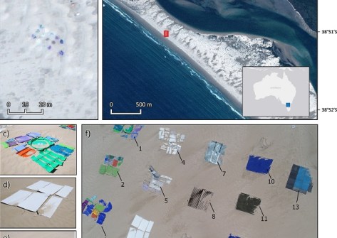
RMIT scientists have developed a satellite imagery spectral index for detecting plastics on beaches.
 2024-10-31
Enjoy our new weekly compilation of geospatial news snippets from across Australia and around the world.
 2024-10-30
The UK’s re-entry into the program has been credited with providing the necessary funding for final approval.
 2024-10-30
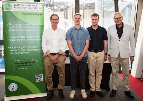
The campaign aims to raise funds for two endowed surveying and spatial university scholarships at UniSQ.
 2024-10-29
Under the agreement, Aptella becomes the exclusive Australian distributor of C.Scope cable locator tools.
 2024-10-28
ADVERTISEMENT
The call has gone out for peer-reviewed and regular paper submissions for next year’s Locate25 conference.
 2024-10-28
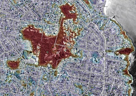
The index maps vegetation to assess the potential exposure of buildings and communities to bushfires.
 2024-10-28
 Events
View All-
Nov 17
Free and Open Source Software for Geospatial (FOSS4G) 2025
 Auckland, New Zealand
 -
Nov 19
Leica TS20 launch roadshow – Orange
 The Wentworth Orange, 130 Ploughmans Lane, Orange
 -
Nov 24
-
Nov 26
Leica TS20 launch roadshow – Newcastle
 Rydges Newcastle, Merewether Street, Newcastle
 -
Feb 4
PNT 2026 Conference
 Royal Randwick racecourse, Sydney


