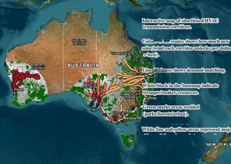
Researchers assessed more than 500 potential new transmission corridors to find 147 highest-scoring options.
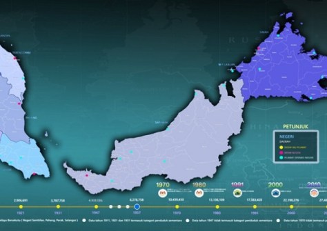
Malaysia introduces the GEOHUB data portal
By jnally on 11 December, 2025GEOHUB integrates geospatial information and official statistics to support planning and development.
Global PNT experts to gather in Sydney
By jnally on 11 December, 2025Local and global PNT professionals will gather in Sydney in February for the PNT2026 conference and expo.
Deakin University partners with Seabed 2030
By jnally on 11 December, 2025Deakin brings 20 years of seabed mapping and research experience to the global seafloor mapping project.
Radar, multi-spectral small-sats reach orbit
By jnally on 10 December, 2025Radar satellites for Greece and multi-spectral satellites for Italy have been placed into Earth orbit.
HydroGNSS satellites launched into orbit
By jnally on 10 December, 2025The ESA Scout mission will use GNSS reflectometry to measure and monitor global moisture content.
Spatial Snippets for Wednesday, 10 December
By jnally on 10 December, 2025This week: Geospatial jobs, LINZ Landonline stats, Spatial Cadastral Fabric update, Minecraft award and more.
Pluses and minuses for women in hydrography
By jnally on 9 December, 2025The number of women in national hydrographic offices has decreased by 12%, but leadership has risen by 5%.
Below-ground utilities now 80% mapped
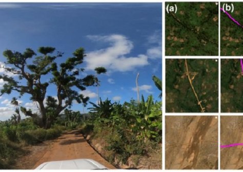
By jnally on 9 December, 2025An ambitious project to map all underground pipes across three nations has moved closer to completion.
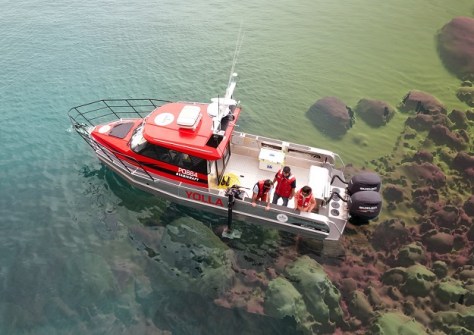
Uncovering hidden reefs in northern Australia
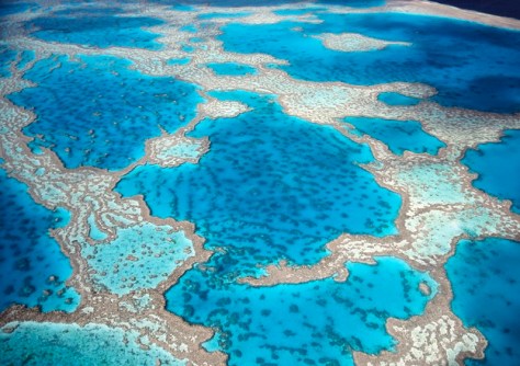
By jnally on 8 December, 2025Better satellite imaging, machine learning and 700 hours of manual mapping have revealed hidden coral reefs.
Latest Geospatial News
View all 2025-12-15
  2025-12-15
  2025-12-12
  2025-12-12
  2025-12-12
  2025-12-11
  2025-12-11
  2025-12-11
 Events
View All-
Feb 4
PNT 2026 Conference
 Royal Randwick racecourse, Sydney
 -
Feb 17
Geo Week 2026
 Colorado Convention Center, Denver
 -
Mar 4
BYDA Utility Safety Conference 2026
 RACV Club Melbourne
 -
Mar 16
Association of Public Authority Surveyors (APAS) 2026 Conference
 Park Proxi Gibraltar, Bowral, NSW
 -
Mar 22
Hydrospatial 2026 Conference
 Shed 6, Wellington, New Zealand


