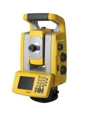
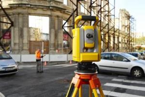
All you need to perform efficient surveying campaigns is included in the new Trimble S3 total station solution. The new Trimble S3 total station is an accurate and reliable surveying instrument that comes with an integrated robotic radio, the popular Trimble TSC2 data controller (or fixed control unit for Servo and Autolock versions) with your choice of field software, integrated high capacity battery, smart dual charger and prism.

The Trimble TSC2® controller, included in this solution, is one of the most trusted and reliable data controllers and works with your choice of Trimble field software: Trimble Access, Trimble Survey Controller, or Trimble Survey Manager.

Overview:
A choice of Robotic, Autolock or Servo system
A complete Trimble S3 Robotic total station system includes :
- Integrated robotic radio
- Trimble TSC2® data controller with your choice of Trimble field software
- Integrated battery and smart dual charger
- Prism
Specialised Applications
Trimble Access field software with modules for specialised applications such as mining, tunnelling and roads in the Robotic total station.
Proven Trimble Technology
- Based on Trimble MagDrive™ electro-magnet technology for reliable servo drives and reduced servicing requirements
- Trimble DR Direct Reflex reflectorless (prismless) technology for precise, fast and safe non-contact measurement.
Coaxial Optics, EDM, tracker, Laser Pointer
- Optics by Carl Zeiss are fully coaxial for measurement confidence and reliability
Dependability backed by world-class training, service, and support
- Trimble customers are supported by an extensive network of authorised training and service centres around the world.
Foundation for Integrated Surveying™
- Combine with a Trimble GNSS receiver for full Integrated Surveying capability
For more information ,
Website: http://www.trimble.com/trimbles3.shtml
Email: trimble_support@trimble.com


