

Image credit: ©stock.adobe.com/au/Brian Scantlebury
Geovation, the UK Ordnance Survey’s open innovation network hub, has launched a challenge with the UK Hydrographic Office (UKHO) to find a sustainable solution to tackle diffuse coastal pollution, with a prize of up to £5,000 for the winners.
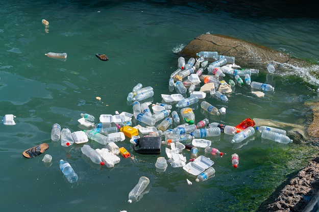
Diffuse coastal pollution causes significant damage to the coastal and has a negative impact on human health and the food chain along Great Britain’s 32,000 kilometres of coastline.
The challenge will aim to address sustainable solutions for improving water quality, boost efficiencies and profitability, and improve sustainability — from agriculture to the water and sewage infrastructure — as well as improving beach cleanliness and wildlife conservation.
For this challenge, successful applicants will have access to data from Ordnance Survey including terrain, buildings, water networks, addressing and the OS Data Hub, the most comprehensive and accurate view of Great Britain’s landscape. This will be complimented by data from the UKHO, the Met Office and the British Geological Survey.
To date, Geovation has supported over 130 location-data and PropTech start-ups which have raised more than £116m of funding and created over 1,700 jobs.
“The coastal challenge is a great way to inspire and drive collaboration using geospatial, maritime and meteorological data so that innovators, with the support from our Geovation community, can devise sustainable solutions in order to tackle critical environmental issues,” said Carly Morris, Head of Geovation.
Stay up to date by getting stories like this delivered to your inbox.
Sign up to receive our free weekly Spatial Source newsletter.


