


Victorian and NSW government surveyors locating the position of the states’ border along the Murray River at Mildura. Image courtesy Surveyor-General Victoria.
Experts from both the Surveyor-General Victoria (SGV) and NSW DCS Spatial Services recently travelled to Mildura to make inspections and determine the position of a portion of the Victoria-NSW state border.
Specifically, the inspection team determined the precise line of the border between the nine-span, 331-metre-long George Chaffey Bridge (part of the Sturt Highway) and the downstream weir.
The weeklong inspection was conducted with low water levels, enabling maintenance and examination of the weir’s submerged banks.
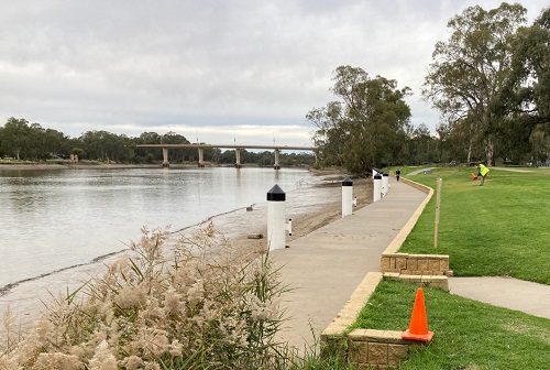
The Murray River at Mildura, with the George Chaffey Bridge in the background. Image courtesy Surveyor-General Victoria.
The border determination was a complex process that involved legal precedents and guidelines, with historical information such as water level recordings, survey documents, topographical surveys and old photographs being pressed into service.
Once agreement was reached on the location of the border, position recordings were made by SGV surveyors — those positions will now be formally surveyed and marked ahead of a forthcoming plan of survey of the State border.
Stay up to date by getting stories like this delivered to your inbox.
Sign up to receive our free weekly Spatial Source newsletter.


