

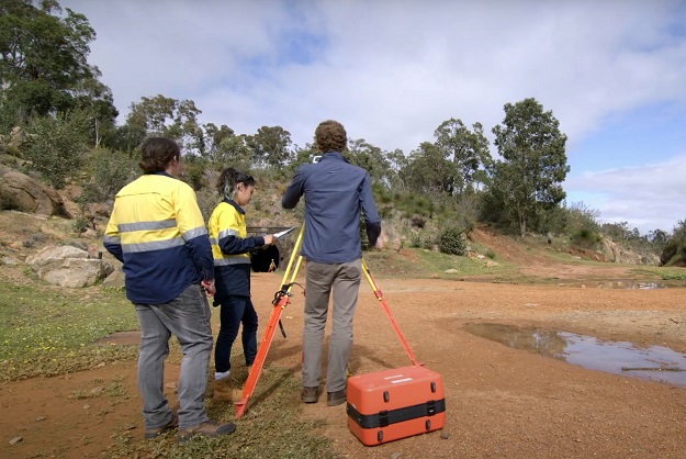
Image courtesy Curtin University
Industry members are being asked to express their views on the challenges of professionalisation in the largely unregulated GIS sector.
According to the survey preamble, “Some GIS professionals have degrees, certifications, and other qualifications — whilst others have none. There are no specific qualifications required to work in the field because there is no regulated standard.”
“With no government-mandated qualifications required to work in GIS, there are no specific guidelines for employers seeking GIS professionals.
“This is a concern for the standard of GIS work produced, and for qualified professionals who find themselves competing with unqualified workers for positions.”
The short online survey has been developed by Mitchell Sage, an undergraduate student in the Discipline of Spatial Sciences at Curtin University’s School of Earth and Planetary Sciences. Sage is undertaking his final year project of ‘Investigating industry perceptions of GIS professionals’.
“The goal of the survey is to let GIS professionals’ voices be heard,” said Cecilia Xia, discipline lead of spatial sciences at Curtin and Sage’s supervisor.
The survey therefore aims to identify possible solutions to challenges faced by industry professionals, and provide insight for use in developing government guidelines or regulations within the industry.
Anyone who is over 18 years of age and is, or has been, employed in a GIS position or is planning to enter the GIS industry in the future, is encouraged to participate.
Stay up to date by getting stories like this delivered to your inbox.
Sign up to receive our free weekly Spatial Source newsletter.


