

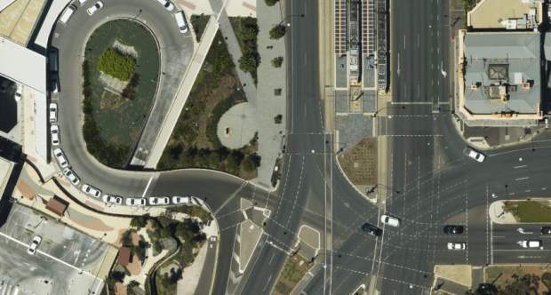
Aerometrex’s MetroCam delivers 5cm imagery at the same flying height used to generate 7.5cm aerial imagery. Image supplied.
Aerial mapping firm Aerometrex has announced the appointment a new Chief Operating Officer, former CTO David Byrne.
According to today’s ASX announcement, Mr. Byrne has been with Aerometrex since 2000, having acted as Chief Photogrammetrist and Production Manager of the company’s mapping operations from 2000 to 2019.
Managing Director Mark Deuter said that Mr. Byrne was a contributor of key technical developments for the firm, such as its 3D modelling platform and MetroCam aerial camera system.
“We are very pleased to recognise with this appointment David’s outstanding contribution to Aerometrex over two decades, his unique qualifications and experience to manage the company’s operations in its next growth phase and his ongoing support and enthusiasm to further build Aerometrex’s already outstanding capabilities,” Mr. Deuter said.
Aerometrex also announced that its MetroMap capture program has been active during the Covid-19 period, conducting aerial surveys over Sydney, Melbourne, Brisbane, Adelaide, Canberra and Perth. A total of 70 new datasets have been added since January 2020, with another 14 having been flown and awaiting publication.
The firm anticipates the MetroMap imagery database to double in size by July 31 with the completed integration of Spookfish imagery database, after Aerometrex acquired Spookfish in April.
Stay up to date by getting stories like this delivered to your mailbox.
Sign up to receive our free weekly Spatial Source newsletter.


