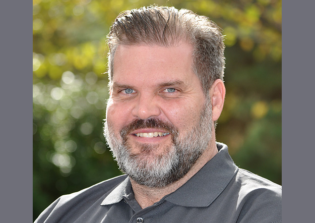
Ben Berghauser, Managing Director, Onneer
In our annual Leaders Forum, we ask experts to look ahead into 2023. Today we talk skills with Ben Berghauser.
Ben Berghauser was a geospatial professional in the Royal Australian Air Force before joining the Australian Public Service as a geospatial data manager. He then co-founded Onneer, a company that specialises in enabling large-scale enterprise GIS using Esri’s ArcGIS software.
Is the geospatial sector in good shape to help solve the needs of the nation, e.g. climate change, renewable energy, infrastructure projects?
The geospatial sector is needed more than ever to assist with the many challenges citizens, governments and private industry are highlighting. Unfortunately, while the sector is perfectly poised to meet these challenges, I feel we’re missing the incubators necessary to bring the multi-disciplinary next generation on board.
Specialists are expected to be cross-skilled across many technical skill areas, yet with a sometimes-vague description about what exactly a geospatial professional is. I think this leaves the profession exposed to being gutted by other industries in the race to acquire the skills of an increasingly scarce pool of knowledge/information workers.
The challenges the nation faces will put pressure on all specialists who can support it, and I think there are challenges to the geospatial sector participating as an equal. While under pressure in a tight labour market, the general lack of recognition and any impediments in the ability to attract and retain talent will surely undercut the sector’s ability to assist.
What are the most important challenges facing the sector?
The biggest challenges are the skills and the understanding and recognition of the different specialisations which comprise the geospatial industry. For a layperson to understand how the geospatial industry can help them, they must first understand what’s on offer. But if the industry can’t represent itself and the benefits its varied professions provide, how will the broad group of other professionals involved with future challenges know who to call?
What’s on your wish list for 2023?
My hope is for a greater focus on what’s already available. Too often not enough is known about existing capabilities before something else is introduced. I’m not against progress, but I’d like to see innovation in communications so we can better express the benefits of the geospatial sector as they stand today. I see a lot of focus on the new and shiny (which is as interesting to me as it is to everyone else), but many times the foundation just isn’t there. I wish we would go back to basics for a period, ensuring that the foundation is there to better shape the application of future innovations.
What are your customers and collaborators looking for in 2023?
There’s a glut of outcomes yet to bear fruit because they’re on hold, stagnant or haven’t really progressed much in the last few years, so my prediction is that action and progress without delays is what 2023 will be about. There is this renewed sense of urgency to get results as we get back on our collective feet. Specifically, our customers are looking for results that are cost-effective to implement, fast to deploy, sustainable and have a level of familiarity. There is less appetite for delivery and sustainment risk, and I feel this has stemmed from the many delays and interruptions due to lockdowns and other impacts of the pandemic.
What are your company’s plans or priorities for 2023?
Our priorities are in streamlining pathways that support our long-term needs for high-quality professional staff. We are focusing heavily on how we define the skills we need to deliver our services, how we retain them and how we replace them in a tight labour market. We are also further refining how we support sustainable solutions in light of these factors, especially knowing that our clients will be under the same pressures to attract and retain skills and experience. Overall, 2023 will be structured around our people and any subsequent options we have to leverage those same efforts for our clients and customers.
This article was first published in Issue 116 (Dec/Jan 2022-23) of Position magazine.
Stay up to date by getting stories like this delivered to your inbox.
Sign up to receive our free weekly Spatial Source newsletter.


