A hydrographic survey has begun in New Zealand’s Bay of Plenty, with the seafloor mapping exercise intended to contribute to safer navigation in the approaches to ports and wharves.
Toitū Te Whenua Land Information New Zealand (LINZ) is responsible for surveying the waters around New Zealand and updating nautical charts.
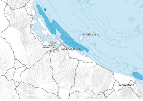
Senior Hydrographic Surveyor, Annette Wilkinson, says the work in the Bay of Plenty will take place in two parts and will be conducted by contractors, DML Surveys, using boat-mounted multi-beam echosounders.
“Starting this week the MV Tranquil Image, will begin charting back and forth offshore Tauranga and Whakatāne,” said Wilkinson.
“The survey will investigate a number of wrecks, rocks, and other natural features on the seafloor that pose a threat to navigation.
“A smaller vessel, the Tupaia, will be mapping the shallower waters of Ōpōtiki in early 2025.”
3D models of the data collected will be freely available on the LINZ Data Service once it is processed next year. This will complement other bathymetric data collected in the Bay of Plenty, including coastal zone data from a technical trial earlier this year.
“The survey is filling in data gaps, contributing to a higher-definition picture of the areas we know mariners are navigating,” said Wilkinson.
Updated nautical charts will be available from the free NZ Electronic Navigational Chart Service.