

Australian businesses and researchers are being invited to join Defence and other bodies in developing a sovereign high-altitude pseudo satellite (HAPS) capability.
The HAPS Challenge is a joint effort between the Department of Defence (through the RAAF Plan Jericho and the Air Warfare Centre), Defence Artificial Intelligence, Trusted Autonomous Systems, SmartSat CRC and the RMIT’s Sir Lawrence Wackett Defence and Aerospace Centre.
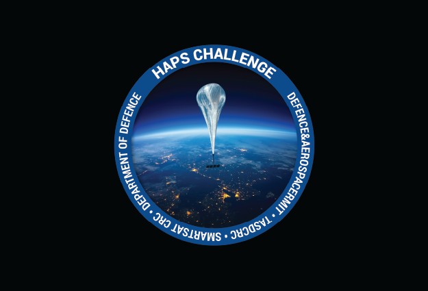
HAPS are uncrewed vehicles such as high-flying winged aircraft or balloons that operate in the stratosphere and can stay aloft for days or weeks, taking advantage of high-altitude winds and solar energy.
Potential uses for HAPS include communications relay, Earth observation, positioning-navigation services and scientific research.
Although HAPS systems are still relatively new, they have a significant advantage over satellites in terms of lower capital and operating costs and greater flexibility.
The purpose of the Challenge is to address certain technology gaps that must be filled in order to field an effective HAPS solution.
The Department of Defence is particularly keen to enhance its command, control, communications, intelligence, surveillance and reconnaissance capabilities… particularly given the vast land, sea and air domains over which Australia has jurisdiction.
The Air Warfare Centre’s Integration and Innovation Director, Group Captain Tobyn Bearman, says the Challenge “is an exciting way to contribute to Australia’s security and defence in new ways”.
“Work in this area seeks to enhance the quality and resilience of our high-altitude capabilities by identifying creative solutions to difficult problems and pushing the boundaries of engineering knowledge,” he said.
Information on how to get involved can be found on the HAPS Challenge website.
Stay up to date by getting stories like this delivered to your inbox.
Sign up to receive our free weekly Spatial Source newsletter.


