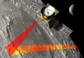
US geospatial firm Intermap Technologies has been contracted to support the United States Geological Survey (USGS) and NASA’s Artemis III lunar landing simulations and training exercises in the Arizona desert.
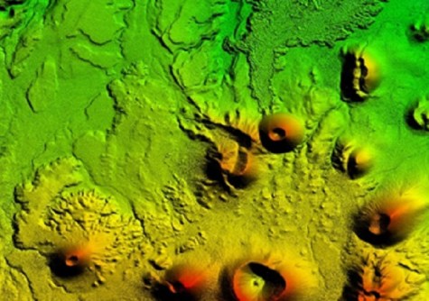
The company will provide its high-resolution NEXTMap solution for the production of elevation data and precision radar imagery.
The system will be used by the Joint Extra Vehicular Activity Test Team (JETT), which develops, integrates and executes tests and analogue missions. The JETT is part of NASA’s Artemis III mission, which aims to land a human crew near the lunar South Pole in 2025.
Test missions are taking place in the Arizona desert, which has characteristics that are very similar to a lunar environment, including rugged terrain, unique geology and minimal communications infrastructure.
The NEXTMap digital elevation models and radar imagery will provide 3D information covering the Arizona JETT exercise area, enabling USGS and NASA to plan and execute tests to evaluate designs for Extra Vehicular Activities (EVAs) such as suits and tools, address gaps and risks for lunar surface operations, and develop capabilities for EVA and scientific tasks.