

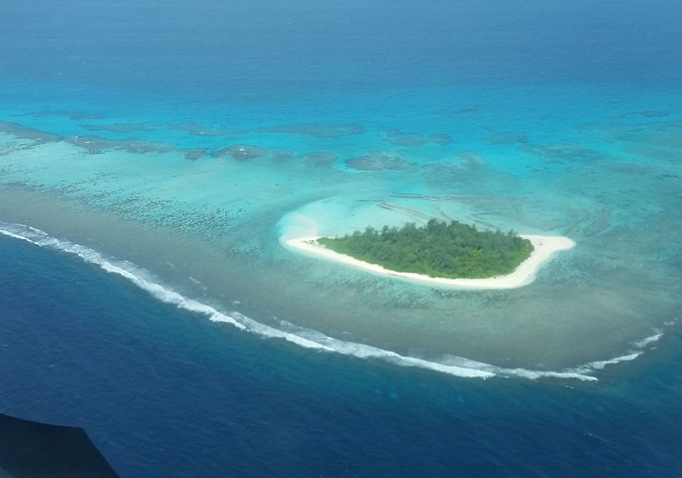
Star Reef passage in Papua New Guinea
Working with Papua New Guinea’s National Maritime Safety Authority (NMSA) and with funding from the Asia Development Bank (ADB), Fugro has completed a hydrographic survey to determine a safe channel through the Star Reef Passage.
The work is a key initiative contributing to Papua New Guinea’s sustainable economic development and will be used to support updated nautical charting and improved coastal zone management.
Fugro’s LADS HD+ Airborne Lidar Bathymetry system was deployed along with a team of surveyors from both the company and the NMSA.
The data was collected safely and with minimal environmental impact on the sensitive reef environment and local marine activity, and is now set to be used to update nautical charts.
Paul M. Unas, the CEO of NMSA, said he is pleased with the successful outcome of the Star Reefs Passage Survey and reaffirmed NMSA’s Commitment to ensuring that PNG’s navigable waterways are adequately surveyed to IHO specifications and that nautical charts are updated for the safety of navigation.
Stay up to date by getting stories like this delivered to your inbox.
Sign up to receive our free weekly Spatial Source newsletter.


