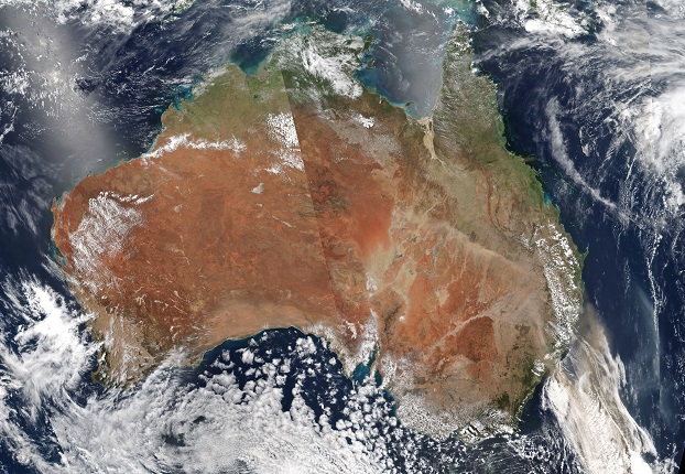
Image courtesy NASA EOSDIS/LANCE and GIBS/Worldview
FrontierSI has announced that it is collaborating with the European Association of Remote Sensing Companies (EARSC) on a project focused on the internationalisation of Earth observation markets for European and Australian SMEs.
The work is being undertaken under a European Union-funded project called ConnectEO, which has assembled a cohort of European SMEs with particular interest in the Australian agriculture and maritime industries.
The project is developing a marketplace where the EU and Australian Earth observation companies can connect and initiate business-to-business relationships, with the aim of building increased collaboration between the European and Australian industries.
To further facilitate building EU-Australia business collaboration, ConnectEO will facilitate EU and Australian SMEs working in the maritime and agriculture sector to construct joint bids for funding into future European Commission Horizon calls.
Information about collaborating with EU SMEs via the ConnectEO consortium can be found on the project website, including information on signing up to the marketplace and meeting the EU SMEs.
An information session on how to be involved in future funding calls with EU partners, facilitated by ConnectEO, will be held on Monday, March 14 2022 at 7:00pm AEDT.
To register interest for the information session, email the ConnectEO Front Office in Australia at frontoffice@connect-eo.eu.
Stay up to date by getting stories like this delivered to your inbox.
Sign up to receive our free weekly Spatial Source newsletter.


