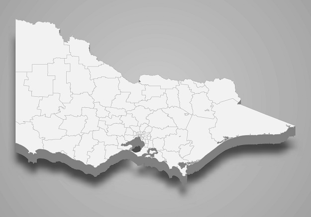
Image credit: ©stock.adobe.com/au/Maxim Grebeshkov
Land Victoria is asking members of the industry to take part in an important survey GDA2020 Transition Survey.
GDA2020 (Geocentric Datum of Australia 2020) is the new official datum that underpins spatial information in Australia and replaces the old Geocentric Datum of Australia 1994 (GDA94).
GDA2020 is in the process of being adopted across the nation, and will be the datum for the management of modern spatial products and services.
The transition to GDA2020 is central to the modernisation of the Australian Geospatial Reference System (AGRS), which will enable close alignment of spatial data and satellite positioning services such as GPS.
The aim of the GDA2020 Transition Survey is to gain a better understanding of the progress of Victorian organisations in transitioning to GDA2020.
Currently, the following Vicmap and surveying products and services are available in GDA2020:
- All downloadable data in DataShare
- All downloadable data in Spatial Datamart
- Vicmap Imagery (Capture)
- Vicmap Topographic Maps (Vicmap Topo Online and Vicmap Viewer)
- Vicmap Position GPSnet
- Survey Marks Enquiry Service
- ePlan (via SPEAR)
- Vicmap IUF
- Vicmap-as-a-Service (VaaS)
- Vicmap Viewer
The remaining Vicmap spatial products and services will be rolled out in GDA2020 over the coming months:
- Vicmap Basemaps
- Vicmap Topographic Maps
- Image Web Server
- Vicmap Open Data Services (WMS/WFS)
The survey will take 5-7 minutes to complete and closes Friday, 10 December 2021.
Stay up to date by getting stories like this delivered to your inbox.
Sign up to receive our free weekly Spatial Source newsletter.


