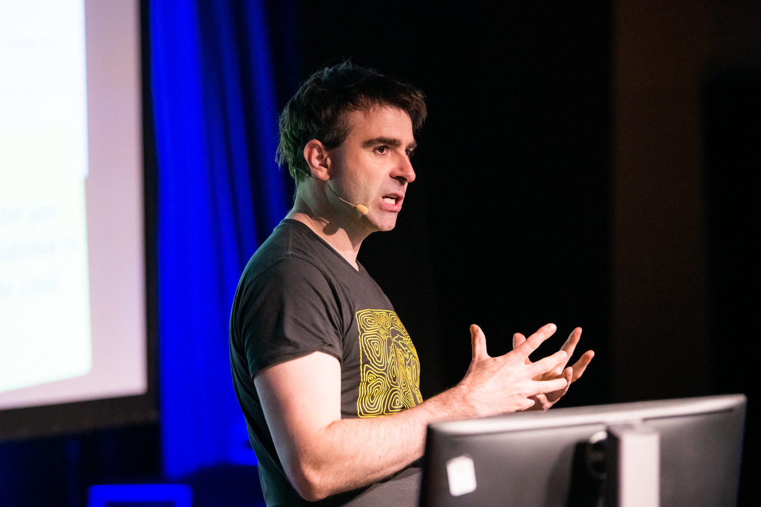
Simon Jackson presenting at Ozri 2019, who also features on the Ozri 2020 line-up. Image provided.
Registrations are now open for Ozri 2020, which has transformed into a ‘free, virtual information sharing experience’.
As Australia adjusts to a Covid-19 reality, Esri’s annual mammoth spatial conference has adapted, with the 2020 event redefined as virtual and free to attend.
Esri Australia promises that the 2020 event will equip attendees with short, sharp and immediately useable information in a combination of live and on-demand streamed sessions, in a diverse program of global and local SMEs, experts and users.
In a refreshing twist, comedy greats Arj Barker and Ben Price will give guest appearances and their take on the geospatial world.
Other heavy-hitters on the 2020 program include:
NOAA: Learn how the United States’ National Oceanic and Atmospheric Administration (NOAA) uses spatial analytics and GIS technology to power more than 1100 different weather forecast service products.
Esri’s Director of Artificial Intelligence, Omar Maher: Mitigate flood and bushfire threats and accelerate community recovery with GeoAI. Esri’s Artificial Intelligence Director Omar Maher will offer a behind-the-scenes look at the latest applications of machine learning for disaster response and recovery.
Norman Disney Young: Take a subterranean journey of one of Australia’s most well-known cultural landmarks, Sydney’s iconic Circular Quay, to see how advances in BIM-GIS integration and geotechnical, geophysical, asset condition investigation and point cloud capture, has helped transport solution engineers to meticulously capture the features of this historical landmark for the first time in its 174-year history.
Esri’s Spatial Analytics Lead Lauren Bennett: Esri’s Data Science lead Lauren Bennett will showcase the latest spatial analysis workflows in ArcGIS Pro. Predict COVID-19 hotspots, understand voting behaviour and detect hidden patterns with techniques such as cluster analysis.
New York State Police: Discover how GIS delivers critical insights to optimise officer deployment, analyse drug and trafficking routes and solve violent crimes.
Registration is open now.
Stay up to date by getting stories like this delivered to your mailbox.
Sign up to receive our free weekly Spatial Source newsletter.


