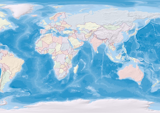
Image credit: ©stock.adobe.com/au/Christian Pauschert
The European Commission and UNESCO are renewing their joint efforts to advance marine spatial planning (MSP) globally.
From 21 to 23 November 2022, the European Commission’s Directorate-General for Maritime Affairs and Fisheries (DG MARE) and the Intergovernmental Oceanographic Commission of UNESCO (IOC-UNESCO) are holding the 5th International Forum for Marine/Maritime Spatial planning (MSPforum) and the 3rd International Conference on MSP, in Barcelona, Spain.
Both events are co-organised with the Spanish Ministry for the Ecological Transition and the Demographic Challenge and the Port of Barcelona. More than 500 participants from over 90 countries registered to attend the events.
The 5th MSPforum kick-started the series of events, with representatives from around the world highlighting the importance of cooperation in the context of transboundary MSP and a sustainable blue economy.
The MSPforum provides an interactive platform to enable exchanges and debate between the actors of Maritime Spatial Planning (MSP), facilitating its implementation worldwide.
MSP is nevertheless a process involving not only planners, but also academics, industry, NGOs, civil society, and others. The 3rd International Conference on MSP (22-23 November 2022) offers these diverse actors the unique opportunity to take stock of existing experiences in MSP and exchange best practices.
The 2022 MSPforum and the International Conference both focus on the six priority areas of the updated MSProadmap, which is divided into three cross-cutting pillars (knowledge support, capacity development and awareness, transboundary cooperation) and three thematic pillars (climate-smart MSP, marine protection and restoration and sustainable blue economy).
Accelerating MSP is among the goals of the United Nations Decade of Ocean Science for Sustainable Development 2021–30.
The ‘Ocean Decade’ aims to support improved ocean planning through a stronger MSP knowledge base, data-sharing tools and infrastructures that integrate socio-economic and environmental data to help create a holistic approach to managing ocean and coastal areas.


