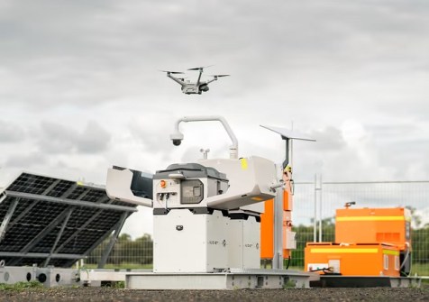
Drone firm RocketDNA has signed a memorandum of understanding with Deswik, part of Sandvik’s Digital Mining Technologies division.
Under the MOU, Deswik will develop an importer in Deswik.CAD that connects directly to RocketDNA’s API to bring SiteTube drone-collected geospatial data into the Deswik.CAD model space.
The collaboration was initiated at the request of a shared mining customer that runs both platforms, who requested a direct integration between RocketDNA’s data capture and Deswik’s planning environment.
Rather than building a one-off connection for a single site, the parties have agreed on a framework to develop the integration at the product level.
The parties intend for the integration to become part of the Deswik.CAD product, with a planned global release base across more than 20 countries.
RocketDNA captures survey data from its autonomous xBot drone fleet. The data is processed and stored on SiteTube, RocketDNA’s cloud platform.
Under the MOU, Deswik will develop an importer in Deswik.CAD that authenticates to RocketDNA’s API, displays the available SiteTube folders and files, and imports them directly into the Deswik.CAD model space.
For Deswik, the integration brings drone-captured survey data directly into Deswik.CAD. For RocketDNA, the work establishes a direct path from xBot data capture into the planning environment that its mining customers already use.
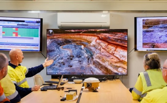
“Bringing high-frequency drone survey data directly into Deswik.CAD removes a step that surveyors and engineers have been working around for years,” said Stephen Rowles, Product Manager – Survey, Deswik.
“The integration with RocketDNA’s API is a practical extension of the Deswik.CAD model space, and we are pleased to work with the RocketDNA team to deliver it.”
RocketDNA’s drone-in-a-box system is widely used in open-pit mining, plus other sectors such as agriculture and security.
The company was the first to be assessed and approved for CASA’s Broad Area Beyond Visual Line of Sight (BVLOS) Self-Assessment Trial.
Since 2022, it has operated BVLOS missions from its Remote Operations Centres in Perth and Adelaide, which, it says, is longer than any other commercial operator in Australia.