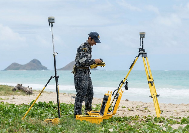
Defence image by CPL John Solomon. © Commonwealth of Australia 2022
The Department of Defence has established a Geospatial Goods and Services Standing Offer Panel (GeoPanel) to procure geospatial goods, services and relevant emerging geospatial technologies from approved industry providers.
The GeoPanel provides the framework for Australian Defence organisation and Defence portfolio agencies to collaborate with industry and identify innovative geospatial data in support of Australia’s defence and national interests.
Director Australian Geospatial-Intelligence Organisation (AGO), Tom Hamilton, said the GeoPanel gives Defence the opportunity to access geospatial goods and services from Australian and international providers.
“Geospatial data is a critical enabler for Defence. Reliable data supports planning and conduct of Defence operations; ensures safety of navigation; and informs situational awareness, policy advice, and intelligence insights,” said Hamilton.
“Geospatial data allows the government to make rapid, well-informed decisions based on the best available understanding of the strategic environment.”
Through the GeoPanel, Defence will be able to efficiently acquire a broad range of Geospatial goods and services across five categories of geospatial technologies:
- satellite, optical and radar data
- aerial imagery
- LiDAR
- hydrographic services
- professional services
It is anticipated over the term of the GeoPanel, Defence portfolio agencies could procure goods and services valued between approximately $8 million to $20 million.
The GeoPanel initial term is for a five-year period, with extension and panel refresh options available to be exercised at the Commonwealth’s discretion.
Panel refreshes will allow Defence to adopt new suppliers and further expand requirements as business needs and industry capabilities evolve.
Opportunities will be advertised on AusTender at www.tenders.gov.au.
Stay up to date by getting stories like this delivered to your inbox.
Sign up to receive our free weekly Spatial Source newsletter.


