

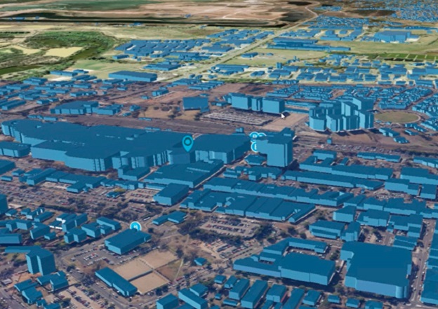
Image courtesy DCS Spatial Services
DCS Spatial Services has secured access and distribution for two new Geoscape datasets — building footprint and trees coverage — for distribution exclusively to NSW Government agencies.
DCS Spatial Services is accessing this new Geoscape data to develop 3D visualisation used in innovative programs such as Live NSW and the NSW Spatial Digital Twin.
The Geoscape datasets available for NSW (whole-of-government only) are:
- Building footprint: Format — Geodatabase (GDB) and Shapefile (SHP)
- Tree coverage: Format — GeoTiff
Both are full NSW state datasets, with the building footprint SHP file only to be made available as an LGA area supply. The arrangement between Geoscape and DCS Spatial Services is for a regular quarterly update to be made available for two years commencing June 2022.
All enquiries for access must be made by lodging a data request via the Spatial Services Customer Hub at https://www.spatial.nsw.gov.au/contact_us .
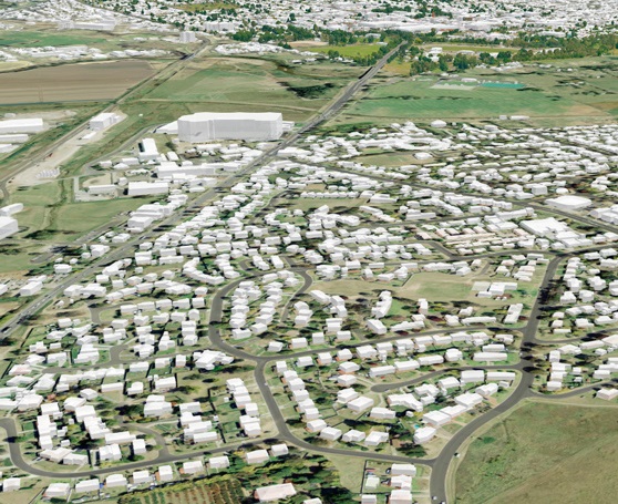
Image courtesy DCS Spatial Services
Building footprint dataset is a digital dataset that spatially represents buildings. Its features are used by industry and government in geographic information systems, visualisations, engineering modelling, and for the derivation of analytics.
Tree coverage dataset is a raster dataset representing tree coverage and heights, derived from remotely sensed data.


