

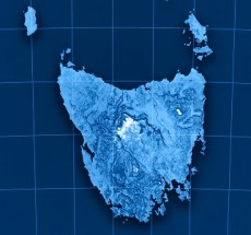
The 2026 Tasmanian Surveying & Geospatial Conference will take place on Friday, 30 October in Launceston. This year’s conference theme is ‘See the land differently: Surveying & geospatial in a changing world’.
Bringing together the Tasmanian geospatial community, the one-day event will feature more than a dozen presentations on a range of topics, including reality capture, the use of AI, developments in title matters, the pricing of geospatial projects and more.
The event will also include presentations by Tasmania’ Surveyor-General and the state Minister for Energy and Renewables, Minister for Parks and Heritage, Minister for Sport.

With a theme of ‘Strengthening and Expanding Geospatial Networks in the Pacific Islands,’ the 2026 Pacific Islands GIS & RS User Conference aims to build and enhance geospatial networks in the Pacific Islands by being a forum where experts, practitioners and policymakers can explore cutting-edge geospatial technologies and collaborations.
The conference is the largest GIS and remote sensing conference attended by Pacific Islanders, attracting more than 300 attendees every year. The event will offer a unique platform to share knowledge, strengthen regional partnerships, and drive innovation in mapping, remote sensing and spatial data infrastructure.

