

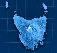
The 2026 Tasmanian Surveying & Geospatial Conference will take place on Friday, 30 October in Launceston. This year’s conference theme is ‘See the land differently: Surveying & geospatial in a changing world’.
Bringing together the Tasmanian geospatial community, the one-day event will feature more than a dozen presentations on a range of topics, including reality capture, the use of AI, developments in title matters, the pricing of geospatial projects and more.
The event will also include presentations by Tasmania’ Surveyor-General and the state Minister for Energy and Renewables, Minister for Parks and Heritage, Minister for Sport.
The 2026 Advancing Earth Observation Forum aims to bring together professionals from across Australia and beyond, to share, learn, connect and collaborate.
The four-day event promises to attract a diverse range of participants from the Earth observation community, including those in industry, government, research, defence, not-for-profits and educational institutions.
The 2026 Forum will build on the momentum generated at the 2024 event in Adelaide and the inaugural AEO Forum held in Brisbane in 2022.
With a theme of ‘Strengthening and Expanding Geospatial Networks in the Pacific Islands,’ the 2026 Pacific Islands GIS & RS User Conference aims to build and enhance geospatial networks in the Pacific Islands by being a forum where experts, practitioners and policymakers can explore cutting-edge geospatial technologies and collaborations.
The conference is the largest GIS and remote sensing conference attended by Pacific Islanders, attracting more than 300 attendees every year. The event will offer a unique platform to share knowledge, strengthen regional partnerships, and drive innovation in mapping, remote sensing and spatial data infrastructure.

