

Collecting the Maps That Will Define the Pandemic
 Citylab
Citylab interviews John Hessler, a specialist in modern cartography and GIS at the Library of Congress, about his work collecting and archiving significant maps relating to the coronovirus pandemic.
 Maps Mania
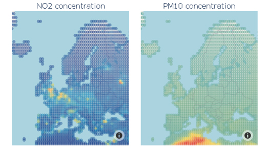
The dramatic reduction in road and air traffic in Europe over the last two months has led to unprecedented falls in the levels of air pollution.
Mapping Your Neighborhood Under Lockdown

Map of the week
Bloomberg Company’s CityLab and the New York Times have both asked readers to submit maps of their neighborhoods under lockdown.
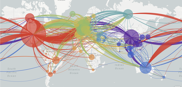
These maps reveal how Covid-19 influenced our mobility patterns

Geoawesomeness
The outbreak of COVID-19 has a profound impact on our mobility. For the past weeks, most of us stayed home, which is not only driven by travel and gathering restrictions but mainly by our responsible behaviour trying to “flatten the curve”. The impact of the lockdown on our mobility can be of course measured using various geographic data sources. Geoawesomeness presents examples of how organisations around the world are tracking and measuring it.
How COVID-19 Crisis Responders Can Receive Google Maps Credits

Sensing Change
Developers are also playing an active role in relief efforts, developing crisis response websites and apps aid the public and their targeted users to stay informed and subsequently healthy. To support them, Google is expediting applications for Google Maps Platform Crisis Response credits.
Stay up to date by getting stories like this delivered to your mailbox.
Sign up to receive our free weekly Spatial Source newsletter.


