The CenterPoint RTX correction service expands operational reach beyond traditional network footprints.
About jnally
-
Asia’s biggest geospatial event will cover indoor mapping, smart mining, GNSS, digital underground...
2026-02-12
An Australian company’s navigation technology was put to the test in a US...2026-02-12
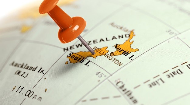
New guidelines have been issued for Māori and Crown land in New Zealand,...2026-02-12
ADVERTISEMENTThis week: Surveying conferences, an Android surveying app, drone operator privacy guidelines and...2026-02-11
On International Day of Women and Girls in Science, we speak with a...2026-02-11
NASA’s proposed Earth Dynamics Geodetic Explorer (EDGE) satellite mission features Australian involvement.2026-02-10
Positioning, navigation and timing within the ADF is a ‘no fail,’ says the...2026-02-10
Aptella is offering complimentary access to positioning services for bushfire and flood recovery...2026-02-09
The Surveying Careers project’s 2026 program is full of initiatives to attract young...2026-02-09
The entire geospatial sector, and the wider community, relies on precise timekeeping. Is...2026-02-05
With the event less than 10 months away, now’s the time for companies...2026-02-05
The platform uses satellite and civil administration data plus open-source tools to forecast...2026-02-05
Austin Metals has begun a high-res drone imagery and field mapping program at...2026-02-04
This week: GIS and surveying jobs, AURIN Data Tales, hidden seafloor canyons, Brisbane...2026-02-04
Satellite imagery and algorithms have proven highly successful at spotting two highly invasive...2026-02-04
Hot on the heels of December’s release of Ginan v4.0.0, the Ginan team...2026-02-03
The GIS Certification Institute is offering free transfer of the GISP-AP credential to...2026-02-03
Michalak will lead efforts to integrate photonic, quantum, acoustic and AI-driven tech for...2026-02-02
Dr Khoo brings broad experience, from precise positioning to cadastral survey, digital twins...2026-02-02
Newsletter
Sign up now to stay up to date about all the news from Spatial Source. You will get a newsletter every week with the latest news.
© 2026 Spatial Source. All Rights Reserved.
Powered by WordPress. Designed by


