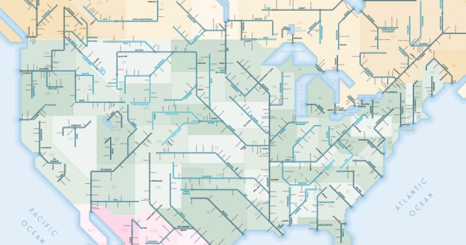
Fugro has won a contract to deliver a 3D virtual network model and...
About Daniel Bishton
-
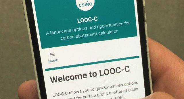
Updated LOOC-C tool now models soil carbon measurements and beef herd cattle management.
2020-12-09
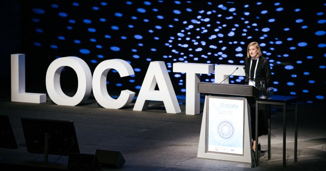
The region’s leading geospatial event has adopted a new format for Locate21.2020-12-09
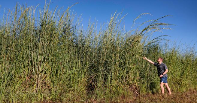
Researchers have developed a model that can identify Gamba grass with up to...2020-11-25
ADVERTISEMENTNew research will use virtual reality to simulate a walkable environment when planning...2020-11-11
SIEUSOIL soil observatory, an EU-China research project, reports a strong first 18 months...2020-11-11
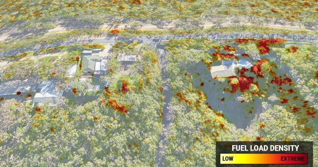
Highly accurate 3D fuel load calculation technology launches for 2020-21 bushfire season.2020-10-27
World first study maps global carbon capture potential from forest regrowth in 1...2020-10-07
Spatial Source’s fortnightly round-up of the best in cartography, spatial analysis and creative...2020-10-07
Female entrepreneurs and innovators in Artificial Intelligence from Australia and New Zealand, take...2020-09-30
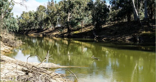
Project to build sensor and satellite network to monitor river health.2020-09-22
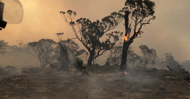
Sensors and satellites drive plan to detect, extinguish blazes within an hour by...2020-09-16
ATSE has warned that proposed changes to higher education will have a lasting...2020-08-18
Spatial Source’s fortnightly round-up of the best in cartography, spatial analysis and creative...2020-08-17
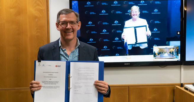
MoU will see the agency help develop the NT’s emerging space capability and...2020-08-11
Spatial Source’s fortnightly round-up of the best in cartography, spatial analysis and creative...2020-08-05
Book and AR app present female role models using geospatial tech in an...2020-08-04
Significant strides for the future of the sector.2020-07-22
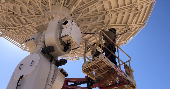
Two new full motion antennas to provide access to Earth observation data in...2020-07-08
Newsletter
Sign up now to stay up to date about all the news from Spatial Source. You will get a newsletter every week with the latest news.
© 2026 Spatial Source. All Rights Reserved.
Powered by WordPress. Designed by


