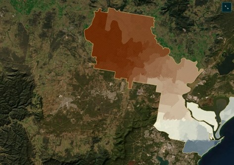
A team from the Australian Urban Research Infrastructure Network (AURIN) and the Queensland Institute of Technology (QUT) have won their category in the UN World Data Forum’s 2024 ArcGIS StoryMaps Competition.
Their winning entry, ‘Understanding Heat Risk in New South Wales, Australia,’ explores datasets providing deeper insight into heat vulnerability across NSW.
The project, submitted under the umbrella of the Australian Data Science Network, was entered in the ‘Effective partnerships for better data and a more equitable data ecosystem’ award category.
It showcases and explains how data can support evidence-based decisions to create cooler, adaptable, climate-sensitive Australian cities.
The story drew on concepts from the Heat Health Vulnerability Indicator case study, part of the Australian Urban Health Indicators project enabled by collaboration between AURIN and other National Collaborative Research Infrastructure Strategy facilities, the Population Health Research Network and the Australian Research Data Commons.
The winning team comprised Dr Aiden Price (QUT Senior Research Associate and AURIN Environmental Health Domain Expert), Annie Wu (AURIN Associate Data Engineer), Flavia Barar (AURIN Data Scientist), Jiaying Kou (AURIN Product Owner) and Emma Joughin (AURIN Head of Marketing).
“This whole process was a great chance for our team to bring together our domain knowledge and learn a new way to present spatial data to the public,” says Aiden Price.
“We’re very proud to be representing our organisations and to have used this opportunity to communicate such an important topic.”


