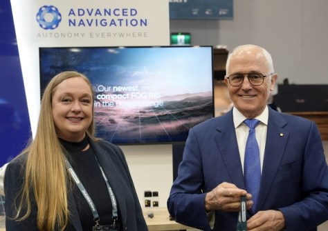
Michelle Toscan becomes the company’s regional head at a time when GPS-autonomous PNT is becoming more vital.
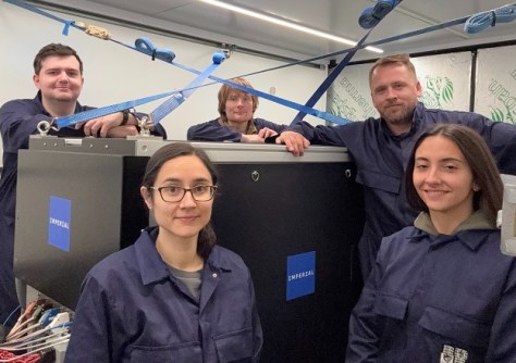
Testing GNSS alternatives for military forces
By jnally on 13 January, 2026Inertial systems based on quantum sensors, and navigation by the Earth’s magnetic field, are on the table.
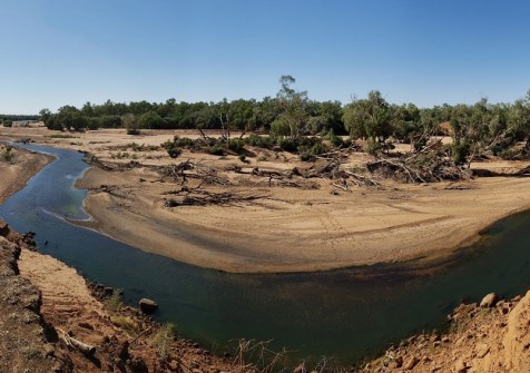
Mapping waterholes along Australia’s drying rivers
By jnally on 13 January, 2026A new framework uses satellite images, rainfall and river flow data to map the presence of surface water over time.
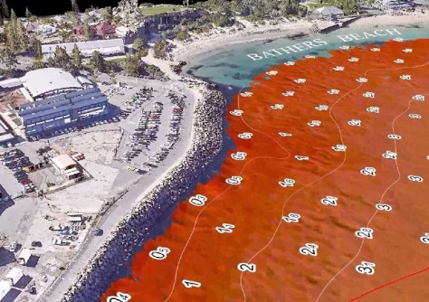
3D seabed mapping for Fremantle sailing event
By jnally on 12 January, 2026Bathers Beach has been mapped to ensure the safety of those taking part in the Perth Sail Grand Prix.
The future of geospatial isn’t ‘GeoAI’
By jnally on 12 January, 2026Ed Parsons opines on the evolution of AI in geospatial, and why it will soon become the new normal.
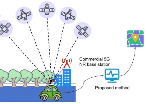
Combining 5G NR and GNSS for navigation
By jnally on 9 January, 2026New research aims to overcome the problems of satellite-based navigation in urban environments.
NASA adds new layer to FIRMS and Worldview
By jnally on 8 January, 2026The Geostationary Ring Natural Colour RGB global imagery layer is updated every three hours.
Queensland survey audits show little improvement
By jnally on 8 January, 2026Validation checks and audits of surveys during 2025 have shown little or no improvement over 2024.
Global 3D map of 2.75 billion buildings
By jnally on 8 January, 2026Researchers have produced what they say is the first high-resolution (3 x 3 m) 3D map of all buildings worldwide.
AUSPOS 3.0 found to enhance accuracy and reliability
By jnally on 7 January, 2026A new paper has favourably assessed AUSPOS 3.0’s performance compared to the previous version 2.4.
Latest Geospatial News
View all 2026-01-13
  2026-01-13
  2026-01-13
  2026-01-12
  2026-01-12
  2026-01-09
  2026-01-08
  2026-01-08
 Events
View All-
Feb 4
PNT 2026 Conference
 Royal Randwick racecourse, Sydney
 -
Feb 17
Geo Week 2026
 Colorado Convention Center, Denver
 -
Mar 4
BYDA Utility Safety Conference 2026
 RACV Club Melbourne
 -
Mar 16
Association of Public Authority Surveyors (APAS) 2026 Conference
 Park Proxi Gibraltar, Bowral, NSW
 -
Mar 22
Hydrospatial 2026 Conference
 Shed 6, Wellington, New Zealand


