China has slightly pulled ahead of the US in a review of commercial space-based remote sensing systems.
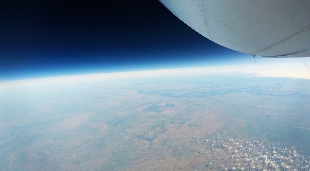
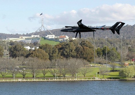
Stratoship tests persistent Earth observation platform
The company aims to reduce Australia’s dependence on foreign satellites for observation capabilities.
Read moreLatest Geospatial News
View all
ADVERTISEMENT
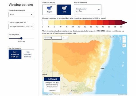
Australia's most detailed regional climate projections are now mapped and available on NSW’s SEED portal.
 2024-10-08
Sphere Drones will supply drone-in-a-box systems for monitoring natural hazards and preserving biodiversity.
 2024-10-04
A new deal will see Toll Uncrewed Systems become the primary Australian training organisation for Carbonix drones.
 2024-10-03
Make sure potential clients can find you by keeping your Spatial Source Directory listing up to date.
 2024-10-02
A QUT researcher has been awarded $240,000 to identify the best data collection protocols and AI models.
 2024-10-02
ADVERTISEMENT
Held this year in Stuttgart, the event attracted 579 exhibitors and more than 17,000 visitors from 121 countries.
 2024-10-01
Australian Spatial Analytics will outline its success in training neurodiverse individuals for geospatial roles.
 2024-10-01
 Events
View All-
Aug 3
International Geoscience and Remote Sensing Symposium
 Brisbane Convention & Exhibition Centre
 -
Aug 26
GIScience 2025
 Christchurch, New Zealand
 -
Sep 10
Survey and Spatial New Zealand Annual Conference
 Te Pae, Christchurch
 -
Sep 17
AIMS National Conference
 Novotel Sunshine Coast Resort, Queensland
 -
Sep 29
76th International Astronautical Congress
 Sydney, Australia


