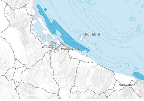
The seafloor mapping exercise will contribute to safer navigation for approaches to ports and wharves.
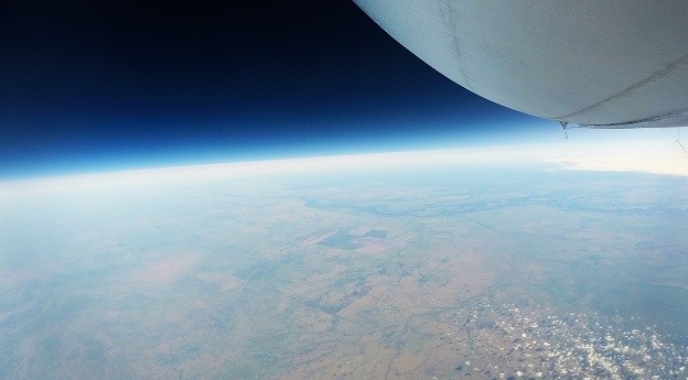
Stratoship tests persistent Earth observation platform
The company aims to reduce Australia’s dependence on foreign satellites for observation capabilities.
Read moreLatest Geospatial News
View all
ADVERTISEMENT
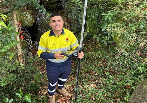
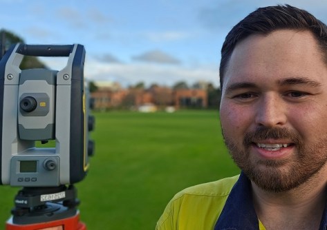
TAFE NSW graduate Nick Baran is achieving success as a surveyor with Transport for NSW.
 2024-11-12
Awards for excellence, community impact, innovation and more were presented at a ceremony in Perth.
 2024-11-11
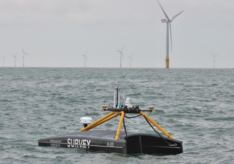
Ireland-headquartered XOCEAN is expanding its operations around the world, including here in Australia.
 2024-11-11
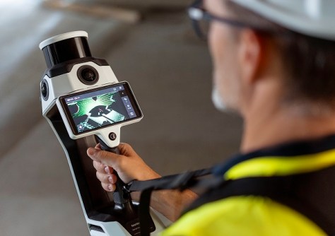
The NavVis MLX lightweight, ergonomic instrument is a significant advance in the field of reality data capture.
 2024-11-08
Young surveyor Dempsey May is living proof that you shouldn’t set limits on your career ambitions.
 2024-11-06
ADVERTISEMENT
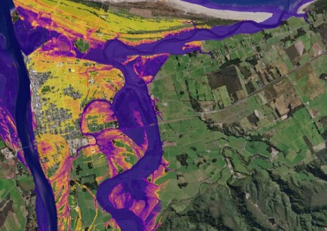
Machine learning is cutting down the time it takes to generate flood maps from 24 hours to just 1 to 2 minutes.
 2024-11-06
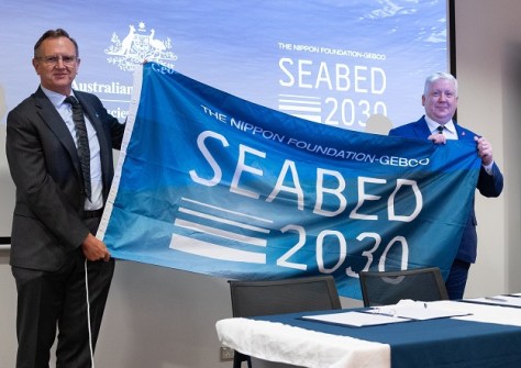
GA will play an active role in supporting Seabed 2030’s mission of accelerating ocean floor mapping.
 2024-11-05
 Events
View All-
Jul 15
18th Australian Space Forum
 Adelaide Convention Centre
 -
Aug 3
International Geoscience and Remote Sensing Symposium
 Brisbane Convention & Exhibition Centre
 -
Aug 26
GIScience 2025
 Christchurch, New Zealand
 -
Sep 10
Survey and Spatial New Zealand Annual Conference
 Te Pae, Christchurch
 -
Sep 17
AIMS National Conference
 Novotel Sunshine Coast Resort, Queensland


