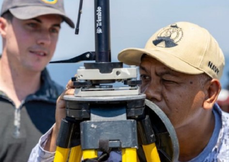
Geospatial specialists from the Royal Australian Navy and the Philippine Navy have joined forces for exercises.
Staged at the Naval Base Heracleo Alano in June, Exercise Lumbas brought together the Australian Maritime Geospatial Warfare Unit and other specialists, and Philippine Navy counterparts, for a series of academic and command post activities.
The exercise was held under a long-standing agreement that seeks to strengthen maritime cooperation, professional exchange and interoperability between the two navies.
Philippine Navy Captain, Marissa Arlene A. Martinez, said the value of this exercise was in the opportunity to strengthen capability and cooperation between the two forces.
“Exercises like these allow us not just to enhance our operational readiness and interoperability with the Royal Australian Navy, but also reflect our deep commitment to partnership and cooperation with them,” Captain Martinez said.
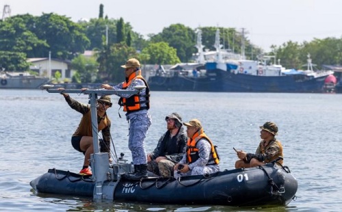
Building partnerships through geospatial training
The exercise saw participants exchanging expertise across maritime geospatial activities, rapid beach survey techniques and underwater search training.
Exercise Director, Royal Australian Navy Captain Fiona Ewington, said Exercise Lumbas demonstrates the enduring strength of the relationship.
“Exercise Lumbas is one of the Royal Australian Navy’s longest-running regional engagements and remains an important part of our defence cooperation with the Philippines,” Captain Ewington said.
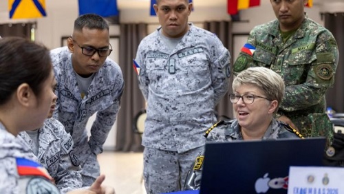
“Through activities such as maritime geospatial analysis and rapid environmental assessment, our personnel are working side by side to build capability, strengthen interoperability and deepen the professional trust that underpins a stable and secure maritime region.
“As partners through the Pacific and Indian Oceans Shipping Working Group, our navies work together to build maritime trade awareness and trade protection capabilities.
“This supports regional economic prosperity and freedom of navigation through a predictable commercial shipping environment.”
Related articles: