

Researchers have used airborne hyperspectral imaging to map the distribution of the kind of eucalyptus trees that are preferred by koalas.
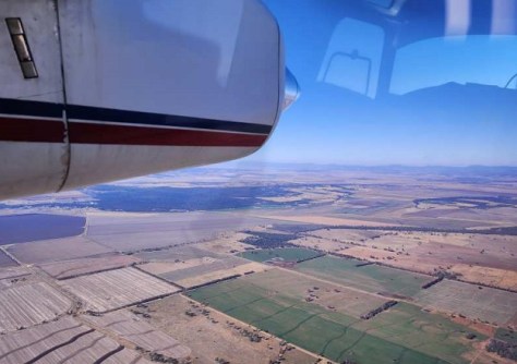
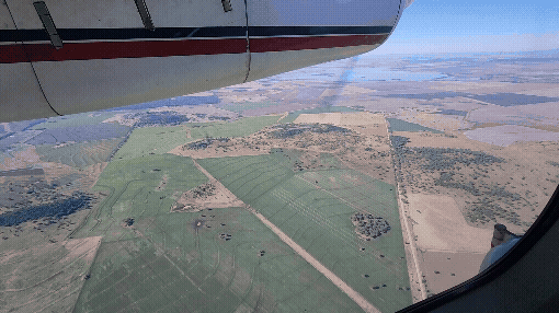
Dubbed ‘Project Airbear,’ the effort has seen scientists use a sophisticated hyperspectral imager mounted aboard a light aircraft to scan fields and forest near Gunnedah in NSW.
The technology uses narrowband visible and infrared to look for particular, subtle characteristics within the trees… such as leaf pigment, water content, and most importantly, nitrogen content.
Koalas are notoriously picky eaters, preferring to eat the leaves of only particular types of eucalypts… especially those that have the appropriate nitrogen levels.
With habitat loss being one of the most important factors in the decline of koala populations, finding and preserving the right food supplies is crucial.
“It’s a real ‘Goldilocks’ situation when looking for the best locations for koala habitats,” said research lead Professor Mathew Crowther from the School of Life and Environmental Sciences, University of Sydney.
“It’s not just finding the right tree species; it also needs to have the right nutritional quality that can help a population to thrive long term. That can even differ within the same tree species.”
“To our knowledge, no koala-focused study has attempted to classify individual eucalyptus species using this method and include tree species as a candidate to improve nitrogen content predictions.”
“That’s why this technology is so important. It promises to speed up identification and protection of invaluable habitats.”
Airborne versus UAV and satellite
According to the study, published online in Science of the Total Environment, various attempts have been made to use remote sensing techniques to study koala habitats and the vegetation the animals require.
They include comparing vegetation productivity to koala presence, monitoring habitat health, and assessing the effects of bushfire damage on habitats.
Other studies have used remote sensing to predict the chemical features of the tree canopy, but these have involved trade-offs between accuracy and spatial coverage.
For instance, remote sensing using UAVs provides fine spectral and spatial resolution, but it can only cover small areas. Satellite imagery can cover large areas but with coarse spectral and spatial resolution.
“At this moment in time, airborne hyperspectral data lies in between these two extremes, offering a balance between spectral resolution and spatial extent, and is thus well-suited for regional-scale ecological application,” the authors write.

“Compared to satellite multispectral sensors, airborne hyperspectral instruments provide hundreds of ‘contiguous’ narrow spectral bands, enabling detection of subtle spectral differences critical for predicting foliar chemistry and distinguishing closely related species,” they added.
“Additionally, their finer spatial resolution minimises mixed-pixel effects and allows for accurate delimitation of individual tree canopy making airborne hyperspectral imagery particularly suitable for habitat quality assessments.”
Hyperspectral pixels for habitats
The study was conducted as a collaboration between the University of Sydney, the Sydney Institute of Agriculture, the University of New England and HyVista Corporation.
HyVista employed a HyMap hyperspectral scanner manufactured by Australian firm, Integrated Spectronics.
The HyMap scanner:
- Has 128 bands across the reflective solar wavelength region of 0.45 – 2.5 um with contiguous spectral coverage (except in the atmospheric water vapour bands) with an average bandwidth of 15nm;
- Has a 3-axis gyro stabilised platform to minimise distortion due to motion; and
- Is spectrally and radiometrically calibrated using NIST traceable sources and a ‘sensor in the loop’ technique, producing low-noise ‘analysis ready’ imagery.
In their paper, the authors write that “Overall, our research demonstrates the potential of hyperspectral airborne imagery for koala conservation through the identification of high-quality koala habitat”.
“Our findings highlight the value of ‘pixel-based’ dataset when training models to predict tree features. Although ‘pixel-based’ data can be noisy and diverse — as a product of branches differences, angle to sensors, different shading, or interference of background reflectance — it enables models to capture real patterns across the noisiness, improve predictions, and remain effective even with low replication, which is often a limitation in ecological studies.
“While ‘average canopy reflectance’ remains useful, it should be evaluated alongside ‘pixel-based canopy reflectance’ results.
“Importantly, we demonstrate that pixel-level training substantially improves model generalisation for nitrogen prediction, and that explicitly incorporating tree species further enhances model performance. Together they provide a scalable framework for mapping koala habitat quality.”
Next steps
“Robust remote sensing techniques that identify the species composition down to individual plants across landscapes are a big step forward for Australian ecology and Earth observation,” said Professor Bradley Evans from the University of New England.
“With the spectral and spatial power of the HyVista HyMap sensor, we can cover an order of magnitude more ground per day flying faster than with our drones.
“Moving forward, we can expect to see detailed assessments of our biodiversity and koala habitat condition, powered by more routine flights covering our most critical and threatened landscapes.”
According to Professor Evans, the next stage of the research will involve NASA JPL using its latest hyperspectral imager next year.
“We will be working with various environmental and agricultural agencies to have NASA and HyVista fly our most critical sites,” he said.
“The University of New England, partnering with University of Sydney and others, are also planning a new ‘National Collaborative Facility’ for this technology so we can put the technology to good use for Australia and future collaborations with NASA.”


