

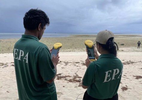
Funding of $4.7 million will be used to boost coastal and marine spatial planning across several South Pacific island states.
The four-year program is being funded through the Republic of Korea – Pacific Islands Forum Cooperation Fund, allocated to the Pacific Community (SPC), the Korea Institute of Ocean Science and Technology (KIOST) and the Pacific Islands Forum Secretariat.
To be known as the Development of Decision Ready Tools to Support Coastal and Marine Spatial Planning (II) project, it builds on an earlier phase that focused on provisioning decision support tools for marine spatial planning in Tuvalu.
The second phase will cover Tuvalu, Tonga and the Republic of the Marshall Islands.
“The project will aid in understanding the historical and current circumstances in the coastal areas of Pacific Island countries through the application of satellite remote sensing, with focus areas including coastline, land-use change, wave properties, etc,” said Dr Chan-Su Yang, Principal Researcher of KIOST and the project’s Principal Investigator.
“Following the direction of Phase 1, priority will be given to refining the developed algorithm and delivering near-real-time information so that the Pacific Island countries can utilise it to their specific need.”
The program’s second phase aims are to:
- Define algorithms for detecting coastline changes and coastal land-use classification;
- Derive wave properties;
- Generate high-resolution marine ecosystem and habitat maps;
- Identify human impacts; and
- Provide user-friendly decision support tools for the project countries.
It will also develop custom training and capacity building to enable agencies to integrate the tools into national planning processes.
SPC’s Earth and Oceans Observations services will carry out the project by using the Digital Earth Pacific facility.
“The project will support national agencies to interpret and apply the data and related information to coastal and marine spatial planning, facilitating knowledge sharing among Pacific Island countries and strengthening regional cooperation on ocean governance,” said Rhonda Robinson, Director of SPC’s Geoscience, Energy and Maritime Division.
“SPC provides vital applied ocean, island, and coastal geoscience services to assist island members in better governing and developing their natural resources, increasing their resilience to natural hazards, and accessing data-based approaches to adaptation.”


