

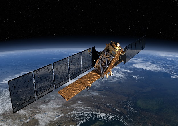
An artist’s impression of the Sentinel-1C synthetic aperture radar satellite in orbit. Credit: ESA/ATG medialab.
Europe’s next synthetic aperture radar satellite, Copernicus Sentinel-1C, has undergone pre-flight testing at Thales Alenia Space’s facility in Cannes, France.
Those tests include ensuring the satellite will survive the noise and vibrations it will experience during launch and separation from the rocket.
The mechanisms that will deploy the satellite’s two 10-metre-long solar panel wings and 12-metre-long radar antenna have also been tested.
There have also been electromagnetic and radio frequency compatibility tests.
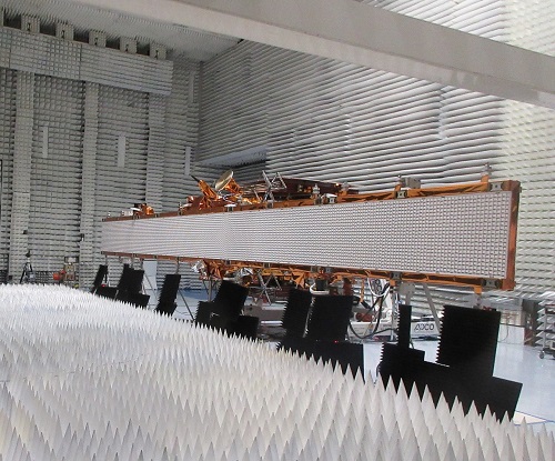
Sentinel-1C undergoes electromagnetic and radio frequency compatibility tests. Credit: Thales Alenia Space.
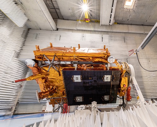
Testing of the Sentinel-1C satellite include fit-checks to ensure it will be mechanically compatible with the launch vehicle. Credit: Thales Alenia Space/ImagIN.
“Our industrial team has pulled out all the stops to get Sentinel-1C to this point following the loss of Sentinel-1B. I would like to thank everybody that has been working so hard on the mission,” said Ramón Torres, ESA’s Sentinel-1 Project Manager.
“We hope to hear about a new launch slot after the investigation into the failure of the Vega-C launch last December.”
Sentinel-1B was launched in 2016 but its mission came to an end in December 2021 after it experienced a fault. It will soon be deorbited.
Sentinel-1C will soon be moved from Cannes to Rome for short-term storage before being sent to the launch site in French Guiana.


