

Image courtesy Woolpert
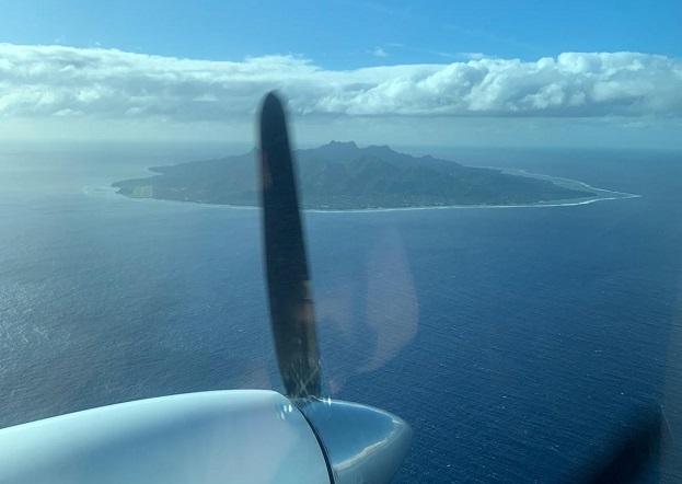
Infrastructure Cook Islands (ICI) has contracted Woolpert to collect topographic and bathymetric LiDAR data and aerial imagery across the islands.
The multimillion-dollar contract is funded by the New Zealand Ministry of Foreign Affairs and Trade and the Green Climate Fund.
The data and products developed will help ICI improve and advance sustainable infrastructure development, environmental monitoring and assessment, natural hazard planning and mitigation, disaster and climate resilience, and nautical charting.
“LiDAR data enables us to model the landscape and seascape and understand how they both change over time to identify specific regions most at risk to natural disaster, climate change and other environmental issues,” said ICI Project Manager Jake Langdon.
“We can use this information to focus our resources, reinforce emergency transport routes, protect people and infrastructure in harm’s way, and mitigate the overall impact of natural disasters before they strike.”
The project will cover approximately 229 square kilometres, including terrestrial, lagoon and offshore components, across the 12 inhabited islands of the Cook Islands.
Woolpert will be supported by aerial services provider Kiwi Air of New Zealand, with data collection scheduled for completion in October.
Stay up to date by getting stories like this delivered to your inbox.
Sign up to receive our free weekly Spatial Source newsletter.


