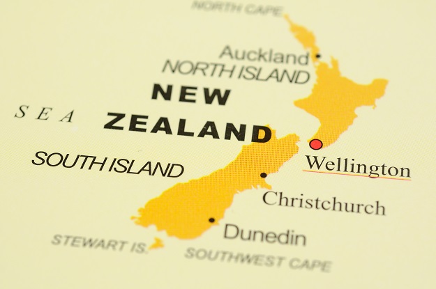
Image credit: ©stock.adobe.com/au/Norman Chan
The list of the finalists for the 2021 NZ Spatial Excellence Awards has been announced.
Originally, the winners were to have been announced at a cocktail function in November this year, however disruptions and restrictions caused by the COVID pandemic have resulted in the event being postponed until early 2022.
The industry award finalists are as follows:
Award for Community Impact
- Ecological Connectivity Strategies — Boffa Miskell and Auckland Council
- Ngā Poutama Matawhenua | Practical Māori GIS Mapping Wānanga: Toitū Te Whenua Land Information New Zealand, Journey GIS Ltd and Te Kāhui Manu Hōkai, the Māori GIS Association Te Kāhui Manu Hōkai, Journey GIS Ltd
- New Zealand Broadband Map — InternetNZ.
Award for Environment and Sustainability
- Landkind — Landkind
- The Piritahi House Removal Sustainability Programme — Kāinga Ora
- Ruru — Conservation Information System — Auckland Council and GBS
Award for Innovation — Medium to Large Business
- Asset Assessment Intervention Framework (AAIF) — Christchurch City Council
- Novel use of satellites, planes and boats to map Tonga — Toitū Te Whenua LINZ
Award for Innovation — Small Business
- Visual Property Assessment Tool — Stantec and Wellington Water Limited
- Tasman District River Surveys — Fox and Associates
- Landkind — Landkind
Award for Spatial Enablement
- Ruru — Conservation Information System — Auckland Council and GBS
- SwitchMyFleet — Critchlow Geospatial
- Asset Resilience Management Tool — Stantec and Tauranga City Council
Award for Technical Excellence
- SwitchMyFleet — Critchlow Geospatial
- Tasman District River Surveys — Fox and Associates.
Finalists for the Individual Awards will be notified separately and announced at the event. The awards are hosted by APSEA and presented by Space and Spatial New Zealand.
Stay up to date by getting stories like this delivered to your inbox.
Sign up to receive our free weekly Spatial Source newsletter.


