

Drone-based data systems provider Delta Drone International has expanded operations into Zambia to deliver a specialised agricultural project for the multinational agriculture services company Syngenta.
Delta Drone International’s local subsidiary Rocketfarm works extensively with Syngenta across South Africa. However, this is the first time the relationship will extend into Zambia, a key agricultural producer for the southern part of the African continent with unique weather systems and challenges.
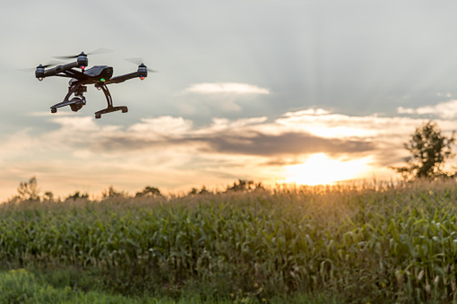
Building on an established partnership with Syngenta since 2018, Rocketfarm will expand its reach and use its advanced data capabilities to virtually visualise and analyse crops, also allowing remote data capture and sharing of Syngenta’s field trials in the region – an essential part of the company’s research and development process.
The project will be delivered in Q1 2021 and while small in dollar-value, will play a key support role to the Syngenta research and development team to assist farmers with the latest advances in crop protection and seed innovation.
Delta International CEO Christopher Clark said: “Building on our established partnership with Syngenta by expanding into Zambia demonstrates how versatile our drone-as-a-service model is and how different applications can be utilised to solve a diverse range of challenges businesses may face.
“While Zambia lies within the tropics, its climate is also modified by the generally higher altitudes and weather systems affecting the country – generally allowing year-round, rather seasonal, crop rotation. This produces unique challenges for crop research and testing teams. Therefore, our multi-spectral imaging capability and capacity to layer that data with additional sources such as weather station data and satellite imagery in real time is of real value to Syngenta’s research teams in this market.
“Our expertise in utilising remote capture and coordination of all these datasets in real time will not only allow Syngenta to more efficiently analyse data, but also reduce the interaction of people on the ground in viewing activities at key field trial milestones – thereby ensuring work practices meet current safe-distancing protocols.
“We are hopeful this project will be the first of many in this key South African market which is looking to increasingly use the latest agri-tech to further optimise crop yields for the key sector of its economy,” he said.
“As drones become more prominent in agricultural operations, businesses can benefit from outsourcing their data requirements. Our innovative model of providing both drone hardware and drone software ensures our agriculture customers have the latest in drone technology along with the most advanced software specific for their industry – enabling them to narrow their focus on the delivery of their core business operations.”
Agriculture contributes approximately 19 percent to Zambia GDP and employs three quarters of the population. Domestic production is comprised of crops such as maize, sorghum, millet, and cassava, whilst exports are driven by sugar, soybeans, coffee, groundnuts, rice, and cotton as well as horticultural produce.
Stay up to date by getting stories like this delivered to your mailbox.
Sign up to receive our free weekly Spatial Source newsletter.


