

Western Australia’s Coral Coast. Image credit: ©stock.adobe.com/au/eqroy.
Three recipients will each receive $25,000 in grant funding through the SPUR Location Grants Program, which rewards businesses that are finding innovative ways to use WA’s location data.
The Program is supported by the WA state government through Landgate and five partner agencies.
Kimberley-based Burrguk Aboriginal Corporation (BAC) — in charge of the Banana Well Getaway bush campgrounds, located on the Dampier Peninsula — is the recipient of the First Nations Grant, for its proposal to develop a plan for an interactive historic nature trail, and signage for the area.
BAC demonstrated how its project is culturally significant and uses place-based information, such as supporting cultural mapping and on country programs.
Two applicants were successful in the General Grant category, for innovative proposals that leverage the State’s location information and deliver value for the land sector.
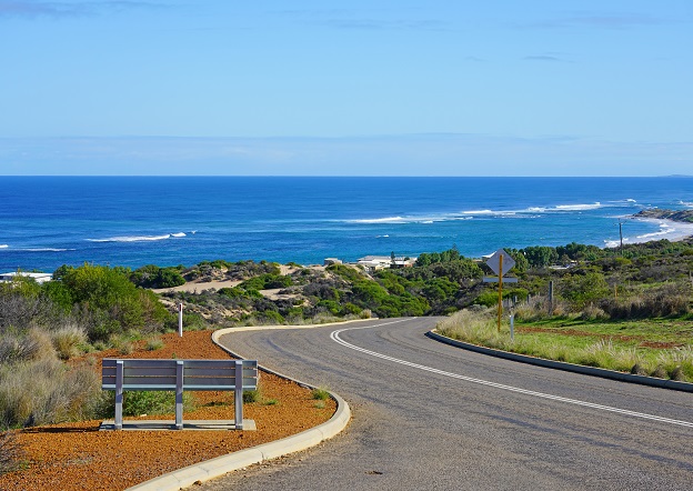
Aero Vines, from Perth, will develop an app to gather key field data for the horticultural industry. Dark Stry, also based in Perth, will develop a new interactive self-guided tour for visitors to the Coral Coast region.
The SPUR Location Grants Program is delivered through Landgate, in partnership with the Department of Jobs, Tourism, Science and Innovation, Department of Finance, Department of Local Government, Sport and Cultural Industries, Department of Planning, Lands and Heritage and the Small Business Development Corporation.
Over the next six months, the three grant recipients will also have access to additional resources such as targeted networking opportunities with partner agencies and information sessions.


