

Image credit: ©stock.adobe.com/au/zephyr_p
The Civil Aviation Safety Authority (CASA) is reminding operators of the availability of a plain-language guide to the aviation regulations that apply to commercial users of micro-aircraft and certain remotely piloted aircraft.
While not reproducing the full regulations word for word, the Plain English Guide for Micro and Excluded RPA operations aims to help operators comply with requirements by covering all the major points in an easy-to-read format.
The Guide “consolidates the applicable sections of Part 101 of the Civil Aviation Safety Regulations 1998 (CASR) and its Manual of Standards (MOS) that relate to the commercial operation of micro and excluded RPA,” according to CASA.
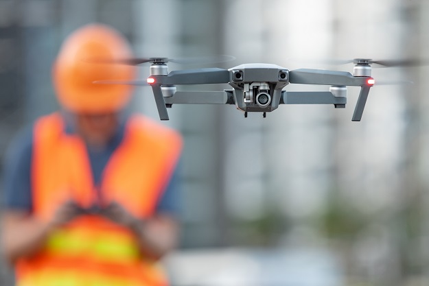
This guide is aimed at all those “who do not hold a Remote Pilot Licence (RePL) and intends to use a drone (not more than 2 kg) for commercial or professional activities (i.e. hire and reward) for work, research, training, or community services”.
It’s also for those who don’t hold a RePL but intend to fly a drone (not more than 25 kg) over their own land in certain activities such as aerial spotting, land surveying, agricultural operations and infrastructure inspections.
The Guide is one of several issued by CASA, the others of which cover the operations of full-size aircraft.
“If someone carefully follows a guide they can normally expect to comply with the relevant regulations,” wrote CASA CEO and Director of Aviation Safety, Pip Spence, in her June industry briefing email.
“We have developed the guides after listening to feedback from the aviation community on the challenges of understanding the regulations with which compliance is required.”
Stay up to date by getting stories like this delivered to your inbox.
Sign up to receive our free weekly Spatial Source newsletter.


