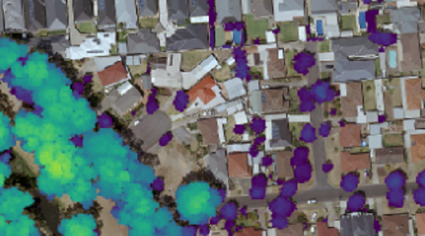
How LiDAR is becoming a practical tool for adding the time series dimension...
vegetation analysis
-
TERN and DCCEEW are developing a catalogue to help Australia’s EO community find...
2026-09-24
The entire state now has complete 10m and 30m coverage, with 1m data...2026-01-20
A new method more accurately defines areas of natural vegetation and agricultural production...2025-04-22
ADVERTISEMENTThe sophisticated, innovative solution has saved client AusNet an estimated $500,000 in annual...2022-08-31
Why ‘set and forget’ is not an option — understanding technical debt and...2022-08-26
A state-wide dataset that used to take 100 people two years to create...2022-01-24
DR. SAMUEL HOLT, RESEARCH & DEVELOPMENT, AEROMETREX The urban environmental crisis Cities globally...2020-11-23
Newsletter
Sign up now to stay up to date about all the news from Spatial Source. You will get a newsletter every week with the latest news.
© 2026 Spatial Source. All Rights Reserved.
Powered by WordPress. Designed by